Paddle Florida®
Over 100 Florida Paddling Destinations
E-Z Maps... Photos... Reports...
You are here > Home >
North Florida >
Wekiva River
Latest update: October 2020
Wekiva River, Levy County*...
Wild and Remote Kayaking in North Florida
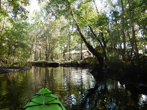
Near the Gulf of Mexico and Cedar Key, the spring-fed, northern Wekiva River is narrow, remote, and beautiful. Flowing past a few small farms (and maybe a cow), it's mostly forest and cypress swamp. This is an up and back paddle on what is easily the gem of a paddling trio accessed from the Waccasassa River Park boat ramp. The clear freshwater here is a nice break for those also paddling along the saltwater Gulf. The river source is privately owned Wekiva Spring east of US 19, not open to the public, the water is bottled and sold. *Note: do not confuse this with the much larger Wekiva River flowing from popular Wekiva Springs State Park in Seminole County, just outside Orlando. Here, there is solitude.
Distance: About 2-3 miles navigable, connects to Waccasassa River
Location: Levy County (Gulf Hammock, east of Cedar Key)
Difficulty: Easy to Moderate
Tidal: Yes, but barely felt on Wekiva
Launch points: Waccasassa River Park boat ramp (CR 326 off US 19)
(See map)
Nearby points of interest: Cedar Key, Crystal River, Waccasassa
Bay Preserve State Park
Rentals/Outfitters/Tours: N/A
Page Summary:
- Paddling the Wekiva River (Levy County)
- Paddling the River, Up and Back
- Low Tide vs. High Tide - More Information and Resources
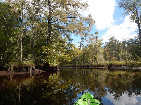
Paddling the Wekiva River (Levy County)... Comments and Photos
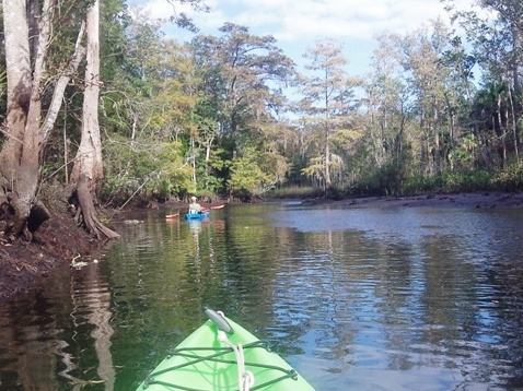
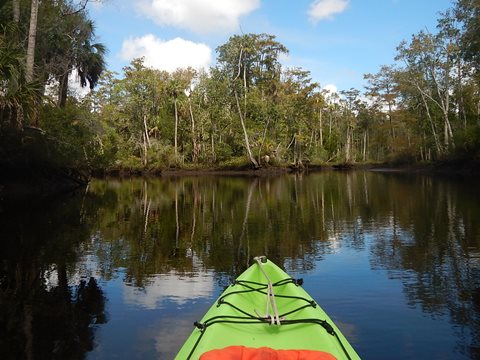
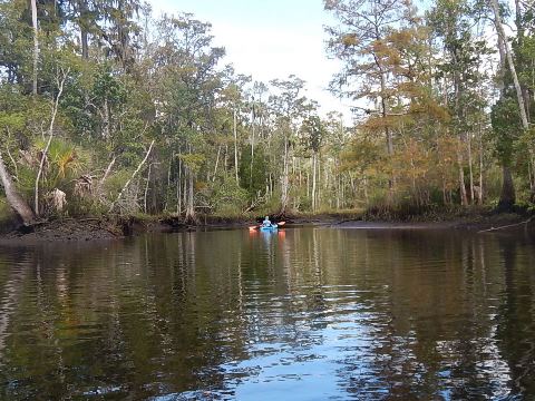
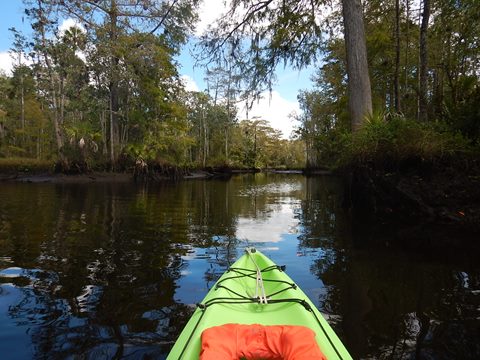
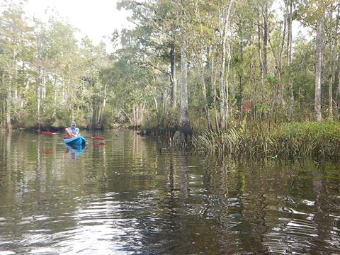
From the launch upstream about 1/2 mile, the Wekiva meets the dark, tannin-stained water of the Waccasassa River. The Wekiva is to the right. At or shortly after the confluence (distance depends on tide), the water becomes increasingly clear and increasingly shallow. Before long, its almost crystal clear and you can watch both fish and birds.
Paddling the River, Up and Back
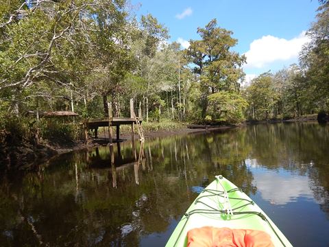
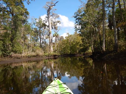
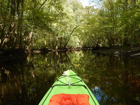
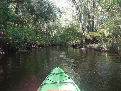
Lots of shade, some tall cypress. After about 3 miles, the Wekiva breaks into separate branches with downfall, becoming impossible to paddle as it approaches US 19 and beyond. There are several homesites along the river, mostly set back and not intrusive. Some of the docks however were showing signs of age. The tide is very noticeable at the lower end of the river, paddling upstream at low tide and then downstream at high tide displayed very different views! Sandbars and beaches observed on the upstream trip were under water on the downstream trip.

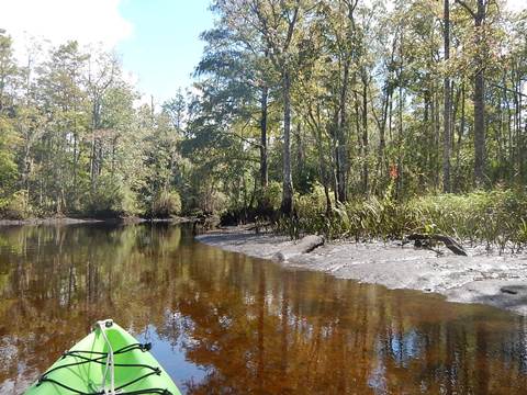
Low Tide vs. High Tide
An example of the river bank, low vs. high tide at the same spot taken 2 hours and 9 minutes apart!
More Information and Resources
Nearby Paddling:
Waccasassa / Wekiva / Otter Creek Overview
- Waccasassa River
- Wekiva River (Levy County)
- Otter Creek
See FL North Region for more paddling
View great paddling by FL Region or Listed A - Z

PaddleFlorida.net... Find Florida's Best Recreational Paddling,
by Kayak, Canoe, and Paddleboard too.
Copyright © PaddleFlorida.net. All Rights Reserved. Paddle Florida®