Paddle Florida®
Over 100 Florida Paddling Destinations
E-Z Maps... Photos... Reports...
You are here > Home >
West Central Florida >
Weeki Wachee
Latest update: January 2024
Weeki Wachee River...
Kayaking and Mermaids
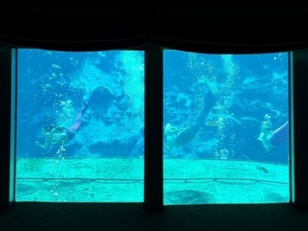
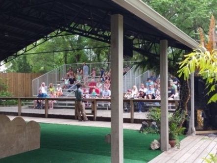
Weeki Wachee Springs is famous as an attraction featuring the Weeki Wachee mermaids and is now owned and operated by the State of Florida as part of Weeki Wachee Springs State Park. The first magnitude spring feeds the Weeki Wachee River which extends 8 miles to the Gulf of Mexico at Bayport. (Detailed map and photos below.)
Distance: 8 miles
Location: Hernando County (US 19 and SR 50)
Difficulty: Easy to Difficult
Tidal: Partially, where the river meets the Gulf
Launch points: Weeki Wachee State Park, Rogers Park,
Bayport (See map)
Nearby points of interest: Weeki Wachee Springs State Park,
Buccaneer Bay
Rentals/Outfitters/Tours:
Weeki Freshwater Adventures (park concessionaire; rentals, tours)
The Kayak Shack (rentals, tours)
Weeki Wachee Kayaking (rentals)
Support and Advocacy:
Page Summary:
- Paddling on Weeki Wachee River
- Weeki Wachee Springs State Park to Rogers Park
- Launch to Spring
- Downstream
- Wildlife - Weeki Wachee Springs State Park
- Paddling at Bayport
- Launch and Park at Bayport
- Paddling in Bayou and Gulf - More Information and Resources
Paddling on Weeki Wachee River... Comments and Photos
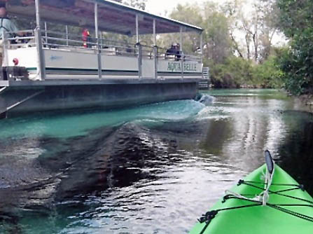
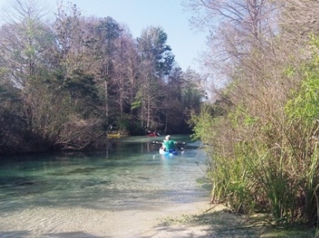
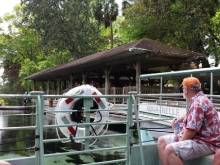
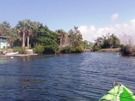
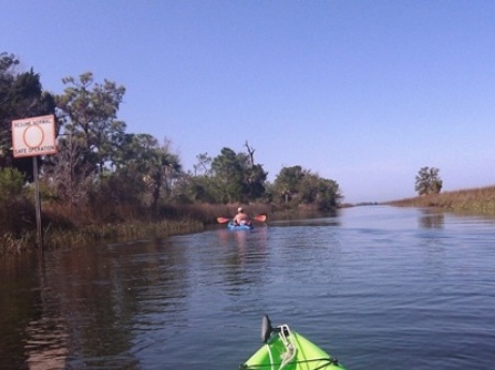
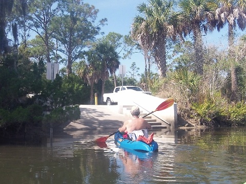
The run between Weeki Wachee Springs State Park and Rogers Park is a popular weekend destination - the best paddling is on weekdays to avoid the weekend paddlers and tubers. The swift current made the downstream trip an easy paddle, and we recommend it for casual paddlers for both the ease of the ride and the beautiful scenery. Motorboats are allowed and motor traffic can be busy, with more as the river approaches the Gulf (popular with fishermen). Watch also for the river boat that launches from the State Park.
Weeki Wachee Springs State Park to Rogers Park
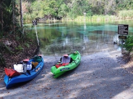
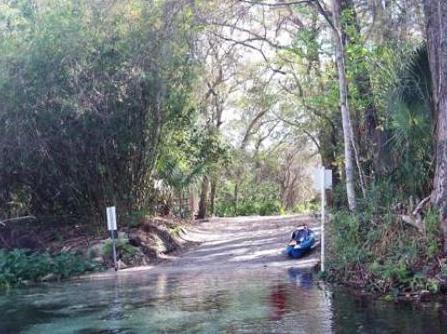
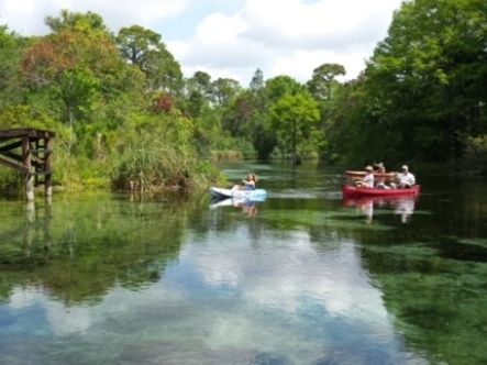
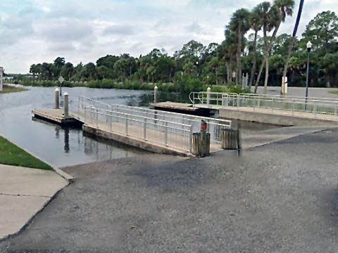
We paddled the 5.5 miles from Weeki Wachee Springs State Park downstream to Rogers Park and shuttled back. Note that Park rules require using the park concessionaire to launch from within the park.
Launch to Spring
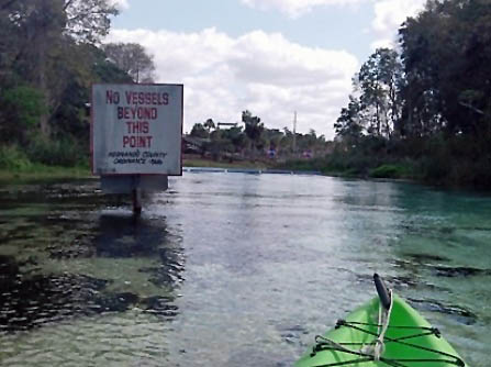
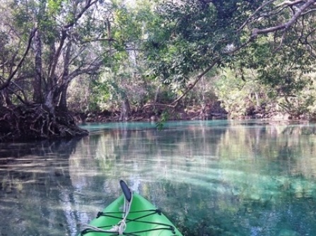
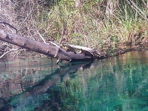
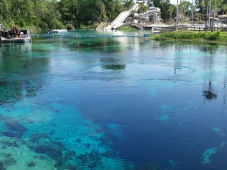
We paddled upstream a short distance to the spring, but access is restricted. Watch for the tour boats. Here, the water is crystal clear.
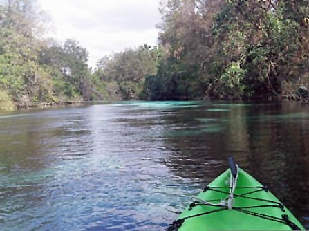
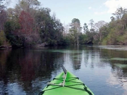
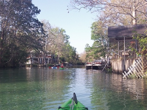
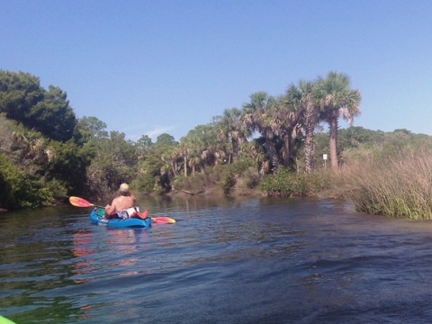
Downstream
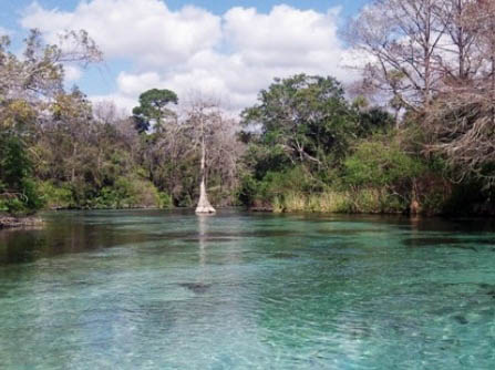
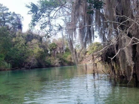
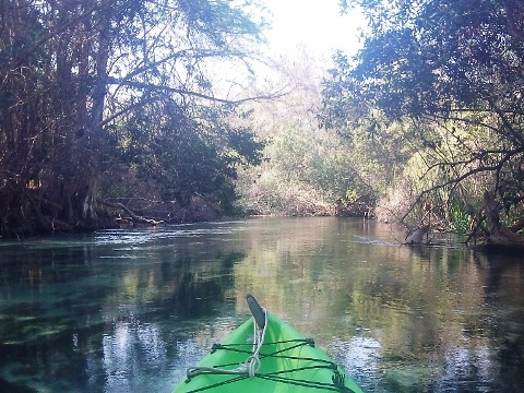
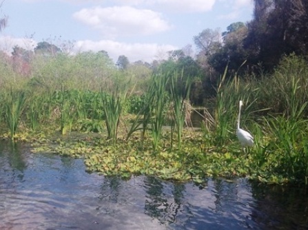
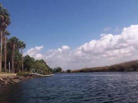
Leaving the State Park, the river is usually clear, with many twists and turns - beautiful and wild through park and forest. Continuing downstream, the water becomes more tea colored. A few houses line the river between the 2 and 3.5 mile markers; at Weeki Wachee Gardens (approaching Rogers Park) are many more homes and a maze of canals.
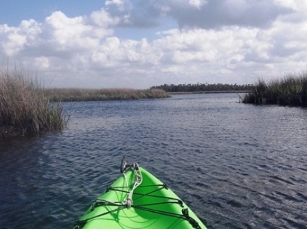
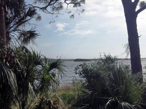
As it approaches the Gulf, the river widens, flowing past open flats and sawgrass. Closer to the Gulf, high winds and tide can create rough water and challenging paddling. More motorcraft may be encountered.
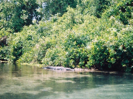
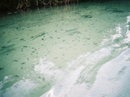
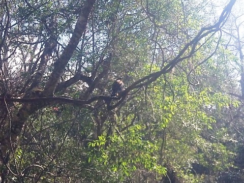
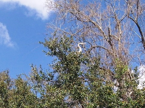
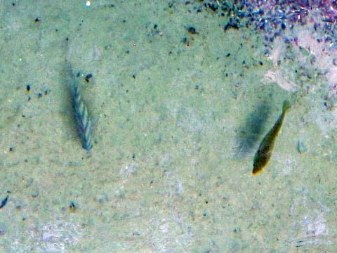
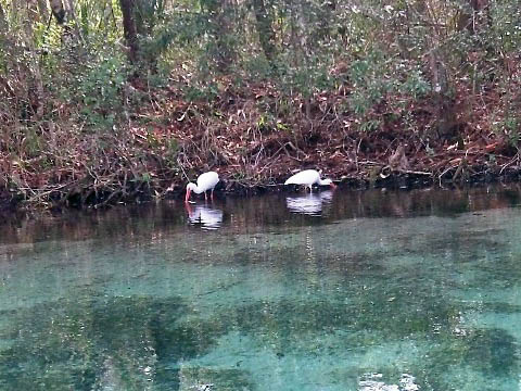
Wildlife
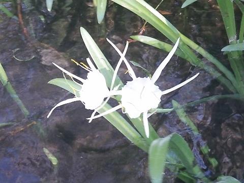
Wildlife include otter, alligators, turtles, deer, and a variety of fish and birds. We saw many fish and assorted birds and turtles. Manatees are common, especially in cooler weather - we were told some had been seen, but we saw none this trip.
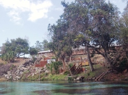
Weeki Wachee Springs State Park
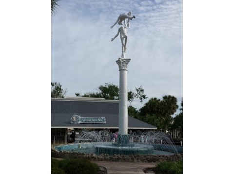
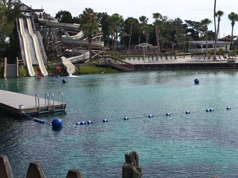
In addition to the spring and mermaids, Weeki Wachee Springs State Park has swimming, scuba diving and snorkeling, hiking, picnicking, and restaurant. Other activities are the Buccaneer Bay water park (Florida's only spring-fed water park), and a River Boat Cruise.
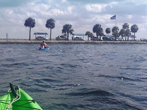
Paddling at Bayport
Launch and Park at Bayport
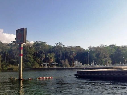
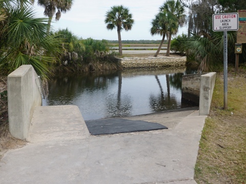
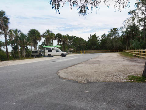
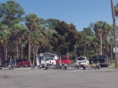
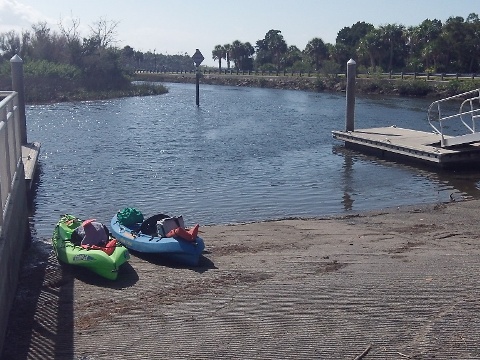
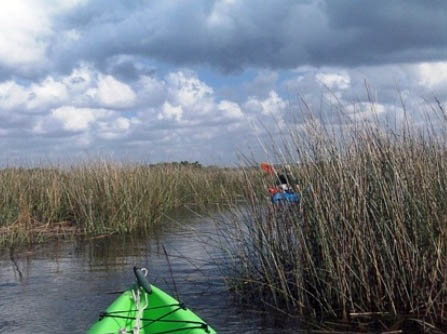
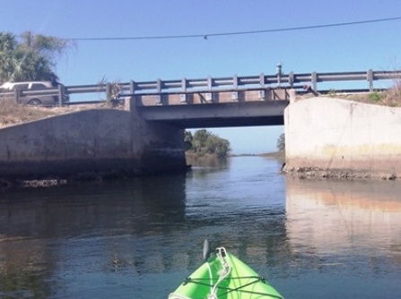
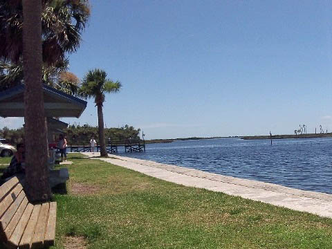
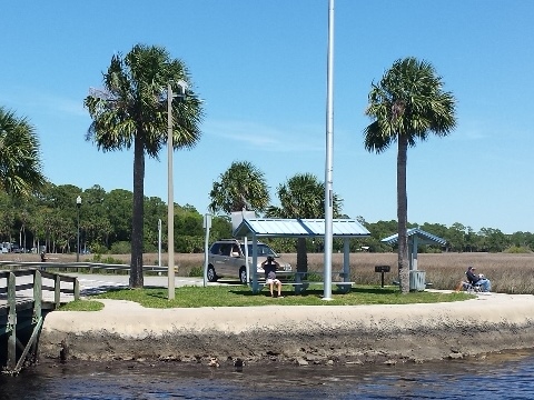
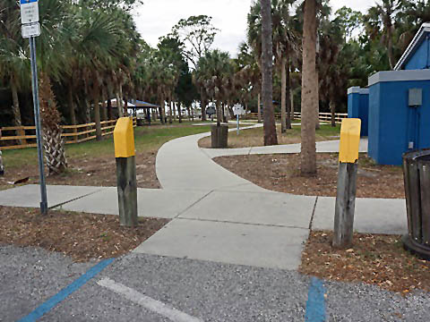
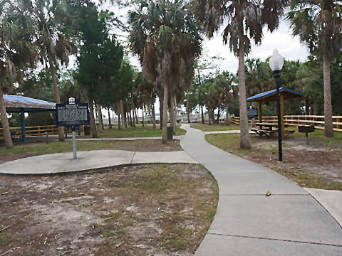
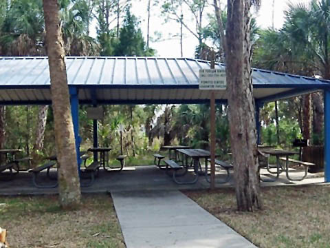
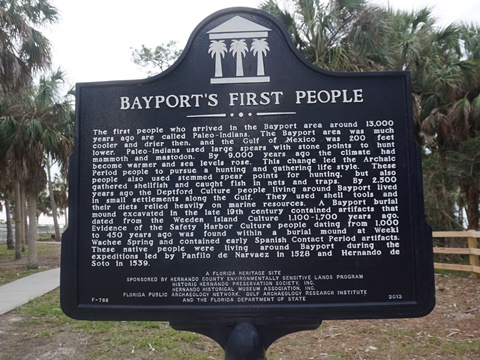
Historic Bayport Park at the mouth of the Weeki Wachee River, is located at the end of Cortez Blvd. (CR 550), 7 miles west of US 91. The park has parking, restrooms, kayak/canoe launch, boat ramp, picnicking, and fishing pier. The river here is wider and busier with fishing, and we did not paddle on the Weeki Wachee but rather through the canal and bayous. There are many channels in the bayous, a good map and GPS are recommended to avoid getting lost in the maze.
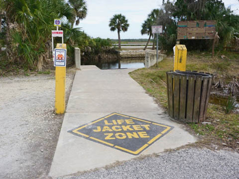
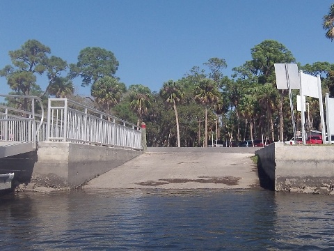
Kayak/Canoe Launch and Boat Ramp
The launch area and the boat ramp are located on opposite sides of Cortez Blvd. entering the park. At the launch is parking, with a restroom at the adjacent picnic area. At the boat ramp are auto and trailer parking, restrooms.
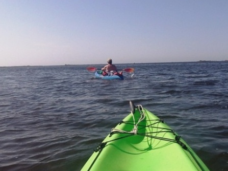
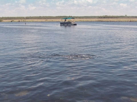
Paddling in Bayou and Gulf
We launched from the boat ramp and returned to the kayak launch, paddling up the canal, exploring the bayou, and then under the Cortez Blvd. bridge to the Gulf. High winds created waves and some challenging (and wet!) paddling. We also heard, but did not see, air boats.
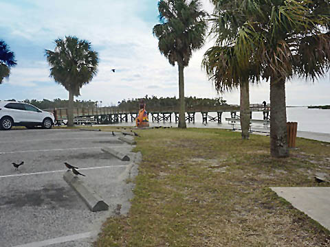
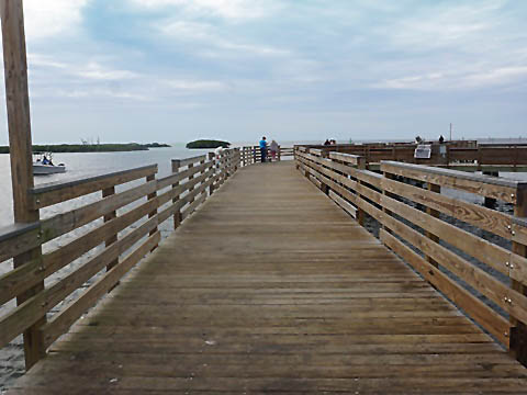
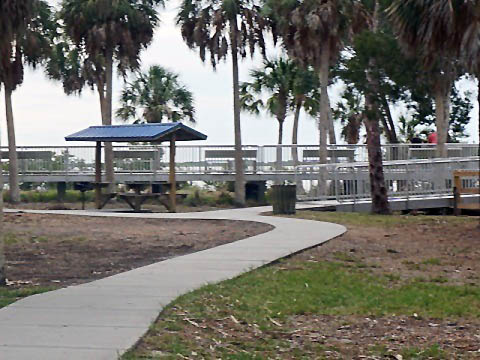
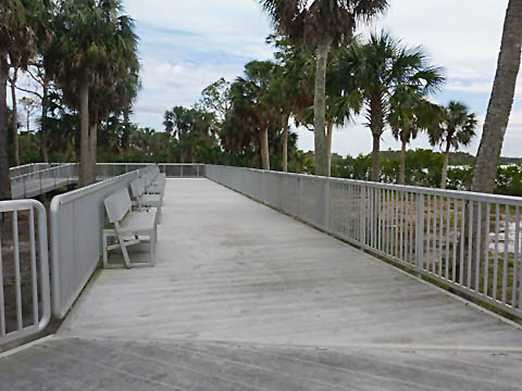
Bayport Park Pier
The pier is popular both for fishing and for viewing the mouth of the river to the Gulf. The seawall has benches and picnicking, a favorite gathering spot for relaxing and enjoying the views and great sunsets. Parking.
More Information and Resources
Nearby Paddling:
Chassahowitzka River
Crystal River
Homosassa River
See FL West-Central Region
for more paddling
Nearby Biking:
Related Resources:
Florida State Parks -
Weeki Wachee Springs State Park
Hernando County - Historic Bayport Park
View great paddling by FL Region or Listed A - Z

PaddleFlorida.net... Find Florida's Best Recreational Paddling,
by Kayak, Canoe, and Paddleboard too.
Copyright © PaddleFlorida.net. All Rights Reserved. Paddle Florida®