Paddle Florida®
Over 100 Florida Paddling Destinations
E-Z Maps... Photos... Reports...
You are here > Home >
North Florida >
Suwannee River >
Suwannee River-Middle
Latest Update: November 2019
Middle Suwannee River...
Historic Sites, State Parks, and Best Paddling
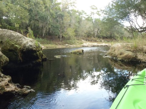
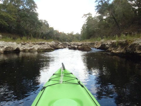
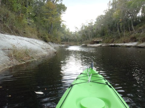
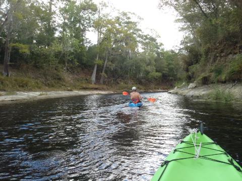
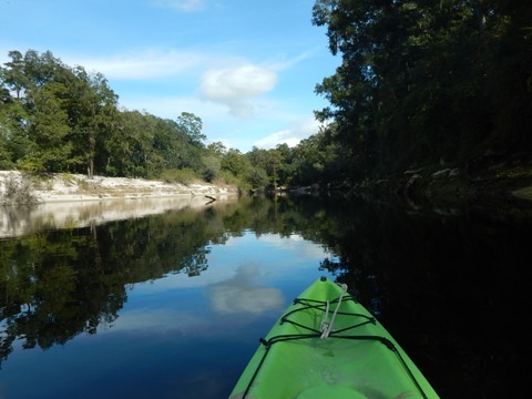
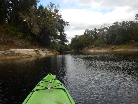
For many, this is the most enjoyable and scenic Region, with springs, parks, and historic sites. At normal water levels, the current is generally moderate and an easy paddle, although outright treacherous at high water levels. During periods of low water, shoals may require a pull-over or two, but none so challenging as to be a problem (remember water shoes). Abundant wildlife and fishing (FL freshwater license required) in this Region. The dark, tannin-stained water of the Upper Region gains in clarity here. Almost 200 springs have been counted in the Suwannee River Basin, most in this area. Major tributaries and springs galore feed the River, gradually increasing its size, volume, and clarity heading downstream. In the summer, "spring hopping" is a popular sport. (Map and photos below.)
Location-Middle: White Springs to Branford, FL
Difficulty Easy to Difficult (water levels are key)
Tidal: No
Launch points: Suwannee River Wayside Park (US 41),
Stephen Foster State Park, Suwannee Springs, Spirit of the Suwannee
Music Park, Suwannee River State Park, Dowling Park, Lafayette Blue
Springs State Park, Troy Springs State Park, more (See
map)
Nearby points of interest: Stephen Foster Folk Culture Center State Park,
Spirit of the Suwannee Music Park & Campground
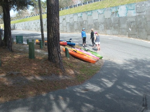
Rentals/Outfitters/Tours:
Advent Village Canoe & Kayak Outfitters
(Live
Oak; rentals, shuttle)
American Canoe Adventures
(White
Oak; tours, sales, shuttle)
Suwannee Canoe Outpost
(Live Oak; tours)
Suwannee River Canoe Rentals
(Live Oak; rentals, shuttle)
Suwannee River Rendezvous
(Mayo; rentals)
Support and Advocacy:
North Florida Springs Alliance Supporting 5 State Parks.
Stephen Foster
Citizen Support Organization
Page Summary:
- Paddling and Launches on Middle Suwannee River
- Paddling at White Springs - Wayside Park (Mile 171)
- Paddling at Suwannee River State Park (Mile 127.7)
- Visiting Launches from Mile 171 (White Springs) to Mile 82 (Troy Springs) - More Information and Resources
See Overview page for all Suwannee River Regions.
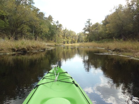
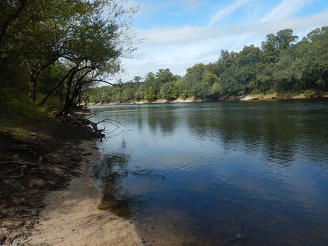
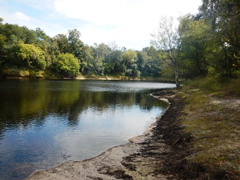
Paddling at White Springs - Wayside Park (mile 171)
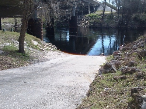
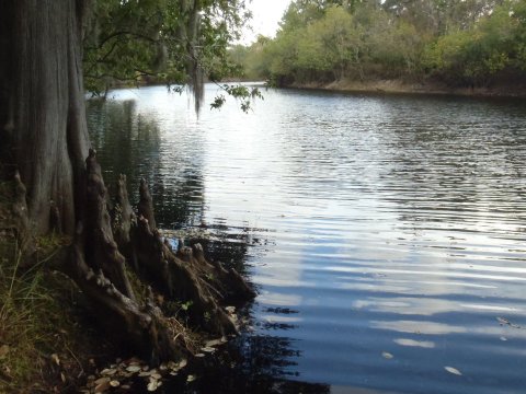
The Wilderness Paddling Trail begins aside the US 41 bridge. The ramp is steep, otherwise easy on and off, no long carry required. This is a nice part of the river, starting under 100' wide at normal levels and gradually widening, high banks lined with oak, pine and cypress provide areas of shade. Small springs begin to enter upstream, but the water is still dark. We did an out and back from Wayside Park, first heading upstream a short distance, before exposed rocks at low water forced us to turn around, then downstream past the ramp for a few miles, and then back. In addition to paddling, there is plenty of "Old Florida" to check out in this area.
Designated Paddling Trail Begins
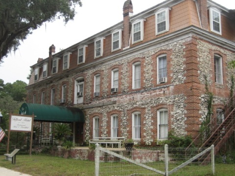
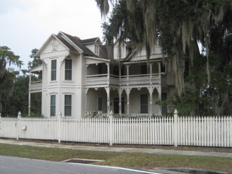
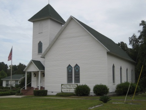
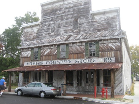
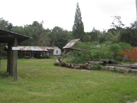
Historic White Springs, FL
White Springs, once a popular resort with 14 hotels, still maintains a Victorian charm, including a Historic District (listed on the National Register of Historic Places) with its shops and folk art, homes and churches.
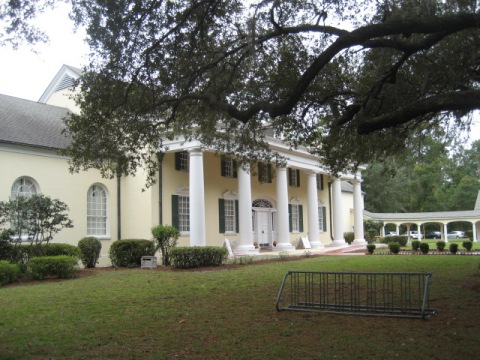
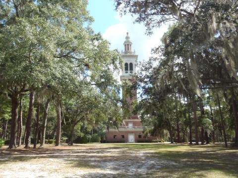
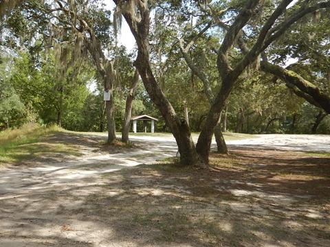
Stephen Foster State Park (mile 168.3)
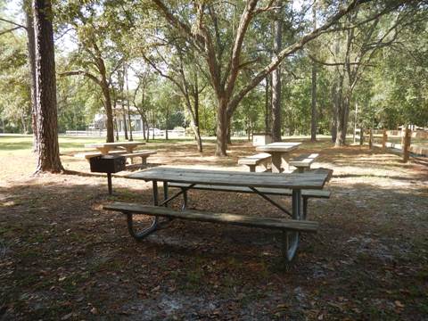
Stephen Foster Folk Culture Center State Park has parking and restrooms, plus a museum, craft square, educational programs, picnicking, playground, hiking, camping and more. The Carillon Tower has the world's largest tubular bell instrument with concerts scheduled daily. The Florida National Scenic Trail is along the river through the park. The launch is a long carry, then a steep ramp/stairway to the river.
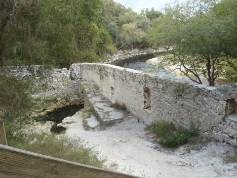
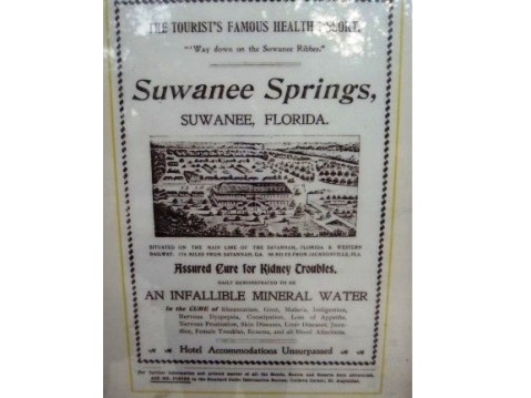
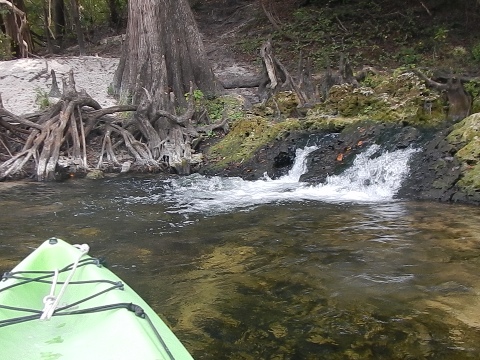
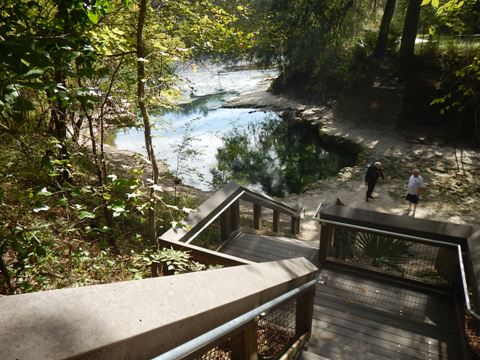
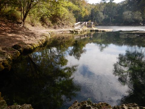
Suwannee Springs (mile 150)
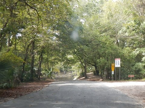
Suwannee Springs Recreation Area is the site of an old sulfur spring that was once a premier tourist attraction. The main spring is within the walls of the old 1800's spring house (some remains standing), there are 6 springs in total. Activities in the Recreation Area include swimming, snorkeling, picnicking, hiking, dirt biking, and paddling. The launch is a long carry down a path, steep wooden stairs to the river. A sandbar available for staging (depending on water levels).
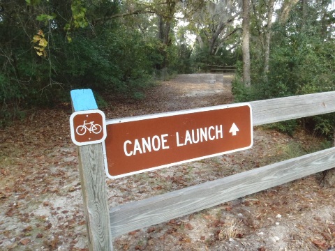
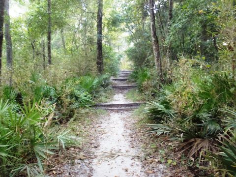
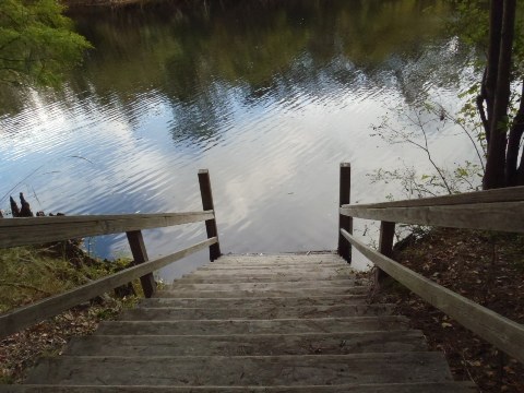
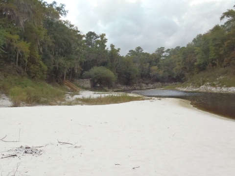
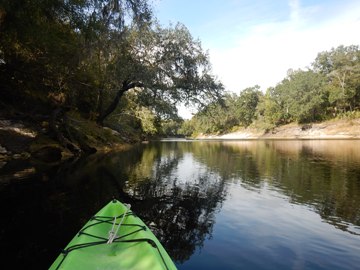
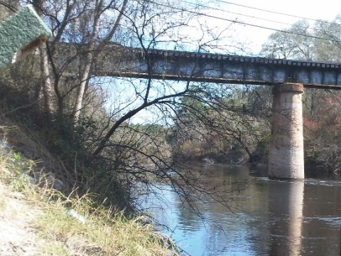
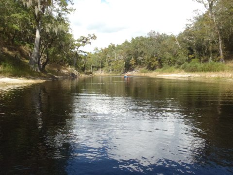
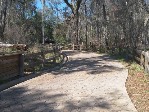
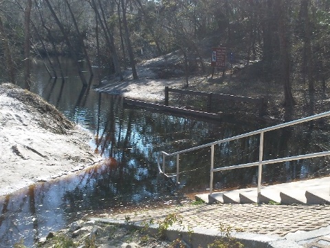
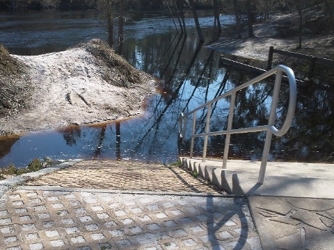
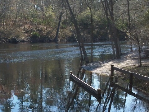
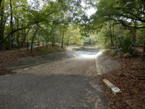
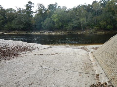
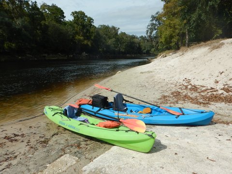
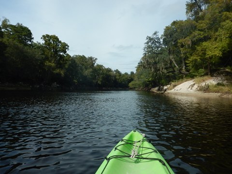
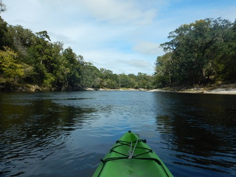
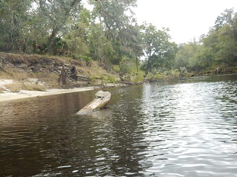
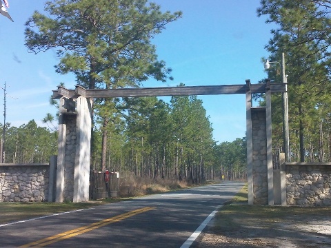
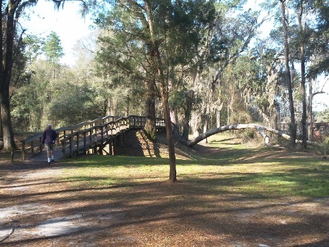
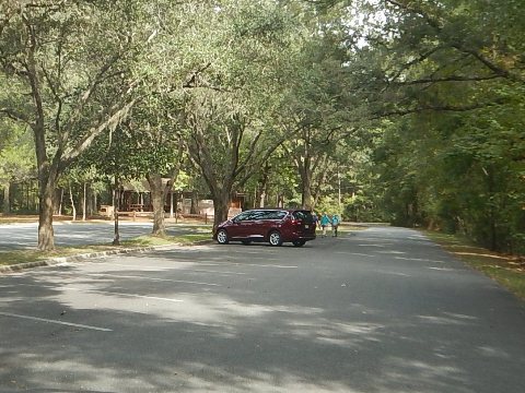
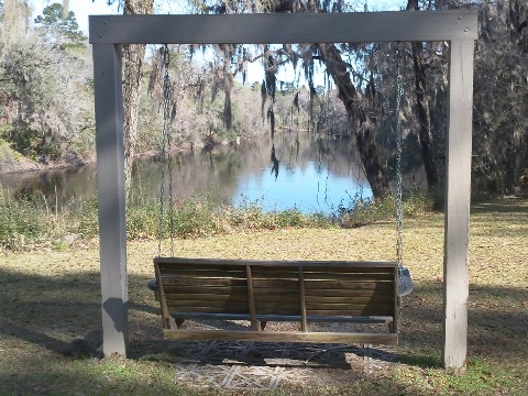
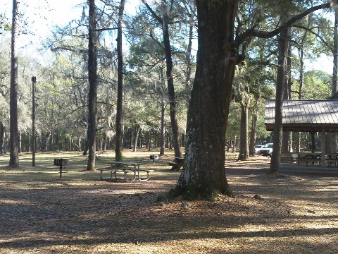
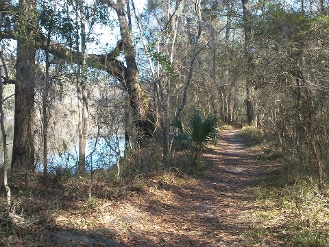
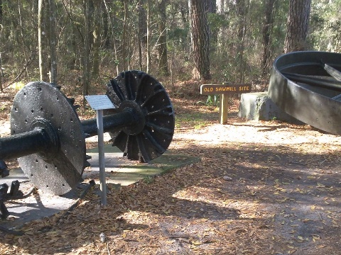
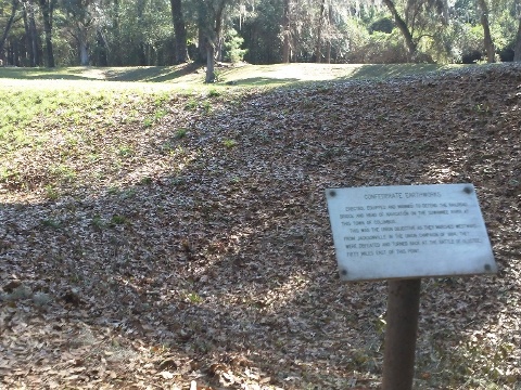
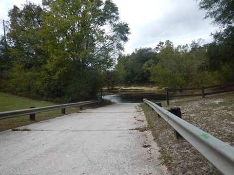
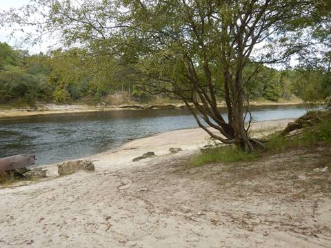
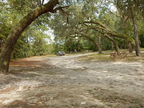
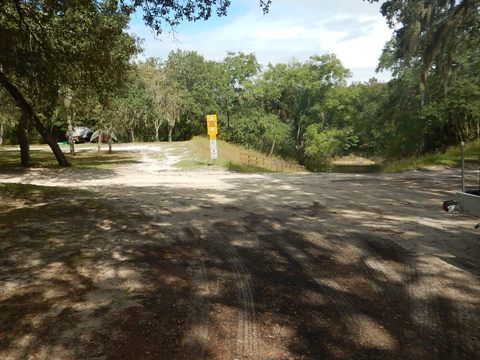
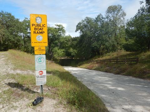
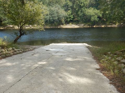
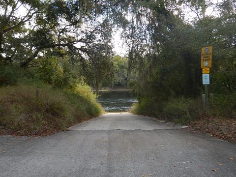
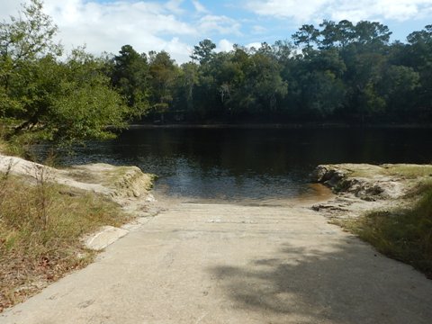
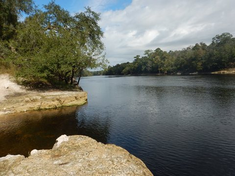
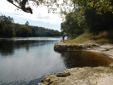
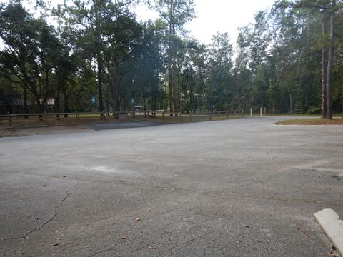
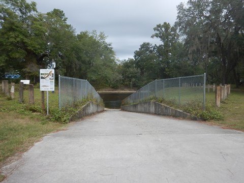
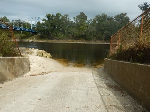
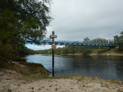
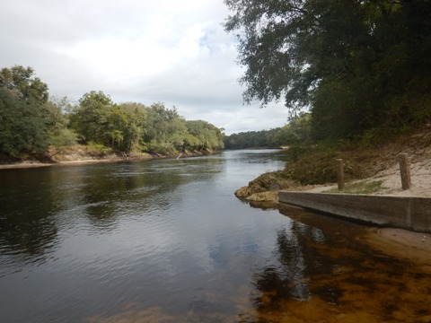
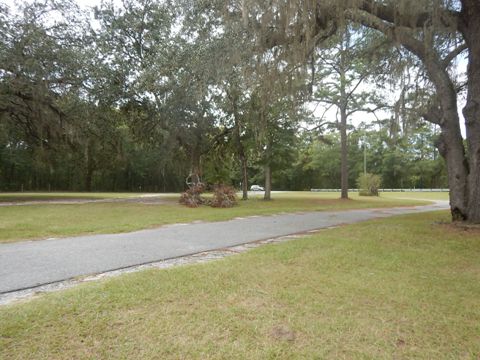
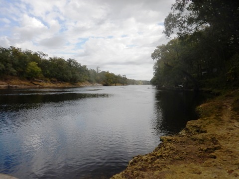
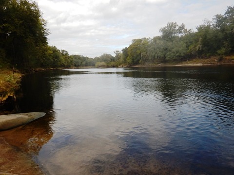
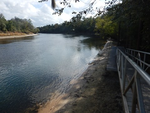
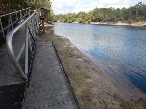
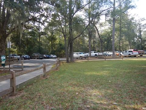
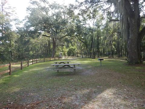
Suwannee River State Park (mile 127.7)
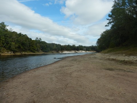
Paddling at Suwannee River State Park
Good ramp, easy on and off, the best access since White Springs. From the launch, we paddled about 4 miles upstream against a light current, and enjoyed a leisurely float back. Water clarity was surprisingly good, especially when passing areas of springs, with many exposed at low water. River width has almost doubled since White Springs, to 150' and more, so unlike in the Upper Region, shade becomes scarce. Fishing is popular here. We are told that sturgeon are occasionally seen leaping this far upriver; we saw none. (Trip report: October 2019)
Suwannee River State Park
Suwannee River State Park in Live Oak, Florida, has boat ramp, cabins, camping, fishing, nature trail and hiking, and picnicking. Remnants of a Civil War fortification remain, as well as an old cemetery. State Park fee applies.
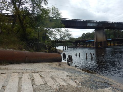
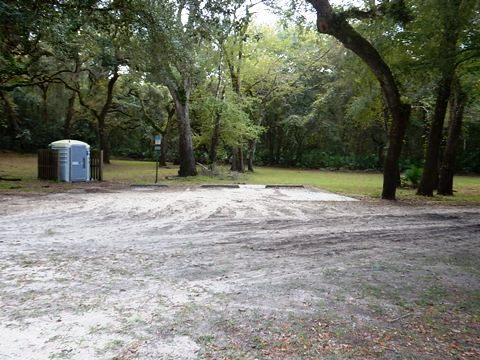
Dowling Park Boat Ramp (mile 113)
Located on the south side of the river at the CR 250 bridge in Live Oak. Paved ramp, sandy area for hand launch. Parking and porta-potty available. No fees.
Lafayette Blue Springs State Park (mile 103.3)
The Lafayette Blue Springs State Park is on the south side of the river. The paved boat ramp is next to a parking area at the South Entrance to the Park. The river is scenic and wide, we'll return to paddle here. State park fee applies.
The State Park has parking, camping, picnicking, biking, hiking, fishing and more. Diving at Lafayette Blue Spring and the Green Sink Cave System is popular, with over 12,000 feet of underwater passages surveyed (divers must register at the North Entrance Ranger System).
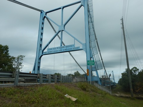
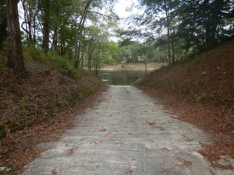
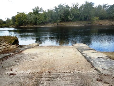
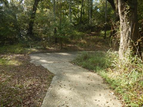
Hal Adams Bridge Boat Ramp (mile 98.2)
On the south side of the river along CR 51 in Mayo FL. Paved ramp, sandy area for hand launch. Parking. Fun fact: The bridge, built in 1947, was the first suspension bridge built in Florida and the only one to carry highway traffic for a time.
Hardenbergh Boat Ramp (mile 92.9)
Located on the south side of the River along River Road (access from US 27) in Mayo FL. Paved ramp, sandy area for hand launch. Parking and porta-potty available.
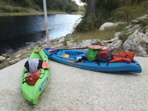
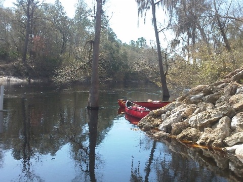
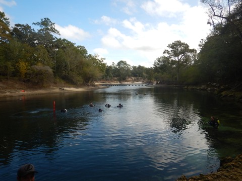
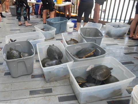
Troy Springs State Park (mile 82)
The park is on the south side of the river. Park fee applies. The first magnitude spring is popular for scuba diving, snorkeling and swimming. The day we visited, a turtle census was underway.
The park also has parking, picnicking, restrooms, hiking and fishing. Great for swimming and snorkeling with wildlife, but in our estimation not a great paddling destination. The canoe/kayak launch is about a 200 yard carry, and at low water the dock was high and dry. This is "spring hopping" territory.
More Information and Resources
Nearby Paddling:
Suwannee River Overview
- Upper River Region
- Middle River Region
- Lower River Region
See FL North Region for more paddling
Related Resources
Florida State Parks - Suwannee River Wilderness State Trail
Florida State Parks -
Stephen Foster Folk Culture Center State Park
Florida State Parks -
Suwannee River State Park
Florida State Parks - Lafayette Blue Springs State Park
SRWMD Detailed River Map (.pdf) - map page 2 shows location of 5 River Camps and
State Parks in the Middle Region, between mile 171 and 76.
View great paddling by FL Region or Listed A - Z

PaddleFlorida.net... Find Florida's Best Recreational Paddling,
by Kayak, Canoe, and Paddleboard too.
Copyright © PaddleFlorida.net. All Rights Reserved. Paddle Florida®