Paddle Florida®
Over 100 Florida Paddling Destinations
E-Z Maps... Photos... Reports...
You are here > Home > Florida Panhandle > Sopchoppy River
Sopchoppy River...
Kayaking in the Florida Panhandle
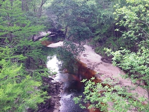
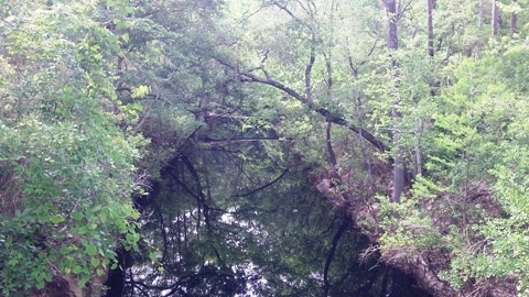
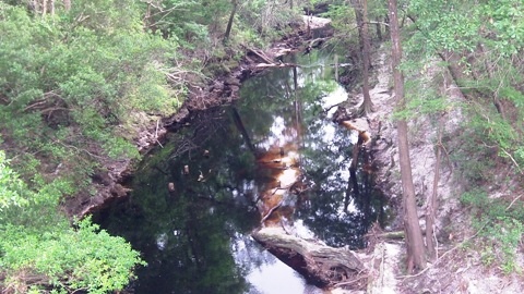
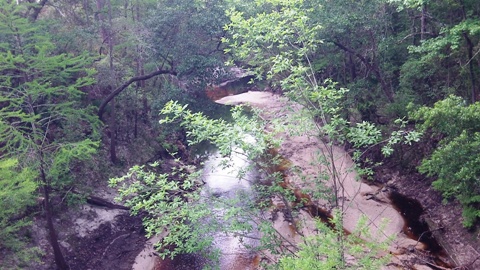
Sopchoppy River is a scenic blackwater river originating in the Apalachicola National Forest and flowing 50 miles to where it feeds into the Ochlockonee River at Ochlockonee Bay. A 15-mile paddling trail runs from Oak Park Cemetery Bridge (FR 343) to the US 319 bridge, though the river can be paddled further at each end. Upriver, the river is remote and undeveloped - twisting the turning, with obstacles to be maneuvered. The cypress formations and 10-15 feet high limestone canyons are often noted in trip reports. Downriver, it widens with homes and motorboats. Although the origin of the name is unknown, some interpretations as "dark water river" or "long twisted stream" are appropriate. We have not paddled here yet, but visited launches and present this information for those who are interested. (Detailed map and photos below)
Distance: Varies. 15 mile Designated Paddling Trail; 50 miles total
Location: Wakulla County
Difficulty: Moderate to difficult on the upper
trail; easy to moderate on the lower
Tidal: Yes, closer to Ochlockonee Bay
Launch points: Oak Park Bridge, Mount Beasor Church
Road Bridge, Myron B. Hodge City Park, US 319 Bridge (See map)
Nearby Points of interest: Ochlockonee River State Park
Rentals/Outfitters/Tours: N/A
Page Summary:
- Paddling on Sopchoppy River
- Myron B. Hodge City Park
- Mount Beasor Church Road Bridge
- Oak Park Cemetery Bridge - More Information and Resources
Paddling on Sopchoppy River... Comments and Photos
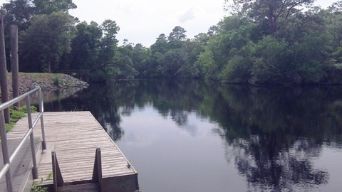
The Sopchoppy River Paddling Trail runs 15 miles. On the upper trail, the river runs through wilderness in the Apalachicola National Forest. This section is not recommended for beginners with many obstacles, twists and turns and a swift current. Watch the water levels, 9-11 ft. is best - too high and the river will run very swiftly, too low and you'll be wading and pulling your vessel. Starting at Mt. Beaser Road, the river leaves the national forest and starts to widen, becoming a less meandering paddle. Homes can be seen and also shared with motorboats to Ochlockonee Bay.
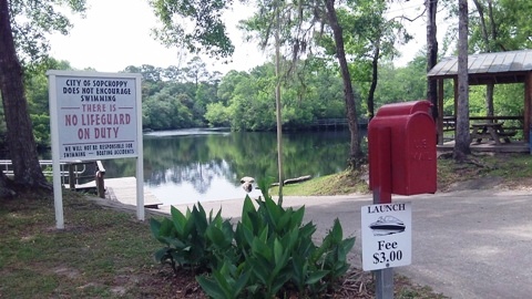
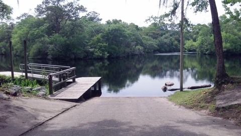
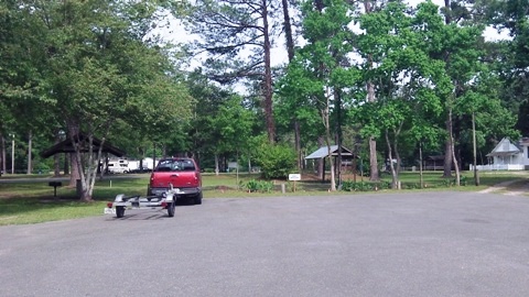
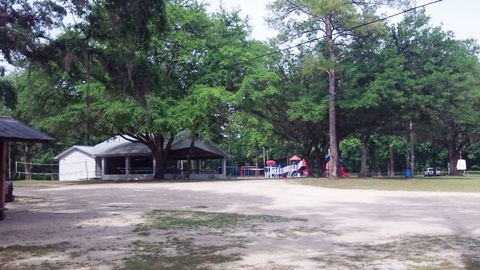
Myron B. Hodge City Park
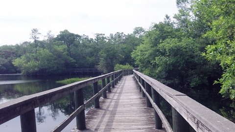
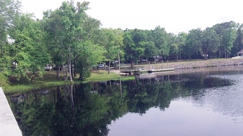
Myron B. Hodge City Park in Sopchoppy is the best launch location with its boat ramp/launch - the other launches are in remote areas with limited parking and difficult access. The 35-acre park has parking, restrooms, picnic, playground, nature trails, playing fields, boardwalk, fishing pier, camping and some historic buildings.
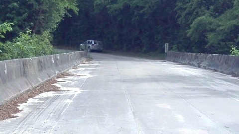
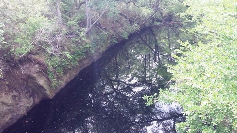
Mount Beasor Church Road Bridge
Mount Beasor Church Road Bridge involves parking roadside and a steep drop to the river.
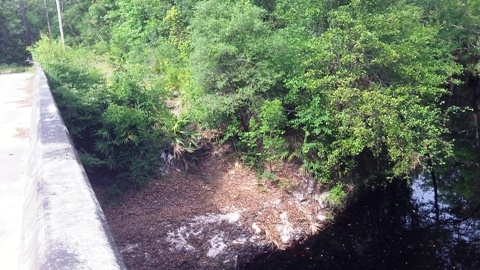
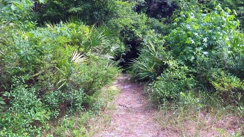
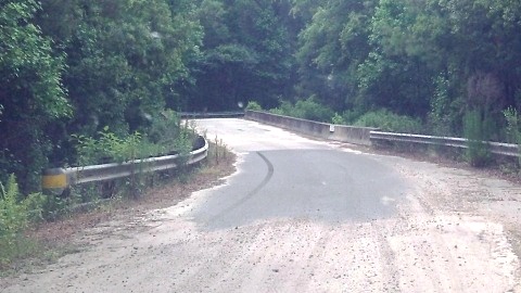
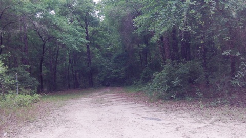
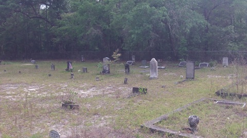
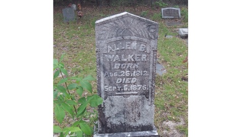
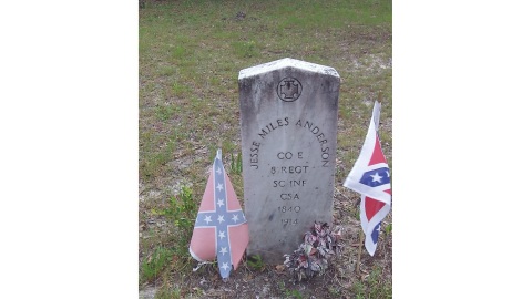
Oak Park Cemetery Bridge
Oak Park Cemetery Bridge parking area is on the northwest side, with a steep drop to the river. Nearby Oak Park Cemetery dates to 1848.
More Information and Resources
Nearby Paddling:
See FL Panhandle Region for more paddling
Nearby Biking:
Coastal Trail
Ochlockonee
Bay Trail
Related Resources:
Florida Office of Greenways and Trails - Sopchoppy River Paddling Trail (.pdf)
View great paddling by FL Region or Listed A - Z

PaddleFlorida.net... Find Florida's Best Recreational Paddling,
by Kayak, Canoe, and Paddleboard too.
Copyright © PaddleFlorida.net. All Rights Reserved. Paddle Florida®