Paddle Florida®
Over 100 Florida Paddling Destinations
E-Z Maps... Photos... Reports...
You are here > Home > Florida Panhandle > Chipola River
Chipola River Overview...
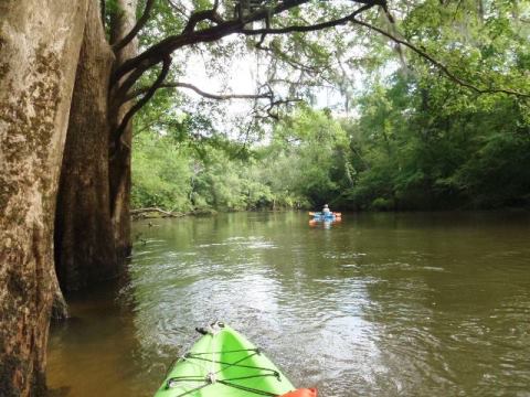
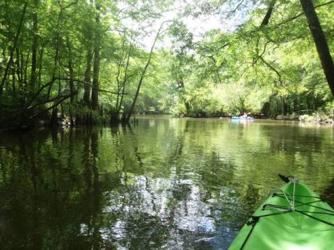
Scenic Kayaking in the Florida Panhandle
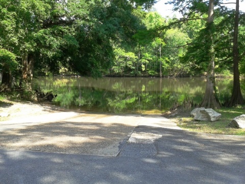
The Chipola River flows 89 miles through Jackson, Calhoun and Gulf Counties to the Apalachicola River. The 51 mile Chipola River Designated Paddling Trail runs from just below Florida Caverns State Park to Scott's Ferry near the Dead Lakes, and the Upper Chipola River Designated Paddling Trail runs 4.5 miles from Christoff Landing to Florida Caverns State Park - the trails are separated due to the river running underground. Fed by 63 springs (33 of which are first magnitude), this scenic river runs through river swamp and hardwood forest, and limestone bluffs and caves can be seen. This is a part of Florida unlike the popular perceptions of the state! (Detailed map and photos below.)
Distance: 51 mile Chipola River Paddling Trail, 4.5 mile
Upper Chipola River Paddling Trail, 89 miles total
Location: Calhoun, Jackson and Gulf Counties
Difficulty: Easy to moderate
Tidal: No
Launch points: See links below for specifics
along each padding trail (See map)
Nearby points of interest: Florida Caverns State Park,
Panhandle Pioneer Settlement, Blue Springs Recreational Area
Rentals/Outfitters/Tours:
See links below for specifics along each padding trail
Page Summary:
- Paddling on the Chipola River
- Two trips: Upper Chipola River, Lower Chipola River (links) - Other Launches
- CR 278 Peacock Bridge, Lamb Eddy Landing, SR 20 Bridge - About the Chipola River
- More Information and Resources
Paddling the Chipola River... Comments and Photos
We made two trips:
- We paddled on the Upper Chipola River Designated Paddling Trail, launching at the at Florida Caverns State Park, just above where the river goes underground.
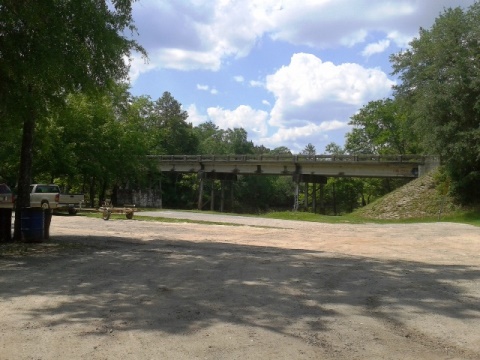
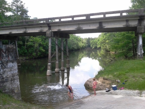
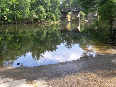
- The Chipola River Paddling Trail (lower river) starts after the river re-emerges. We launched on Spring Creek and paddled (floated in shallow, clear water) downstream to the Chipola River. From the confluence, we paddled up-river a distance (it was very high and muddy this day), then turned around and went with the flow to our take-out by the CR280/Magnolia Road Bridge.
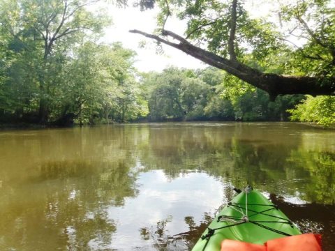
Note: Below Florida Caverns State Park, the river basin contains many operating farms, so the water becomes very brownish after heavy rains. The best kayaking is at normal to low water levels.
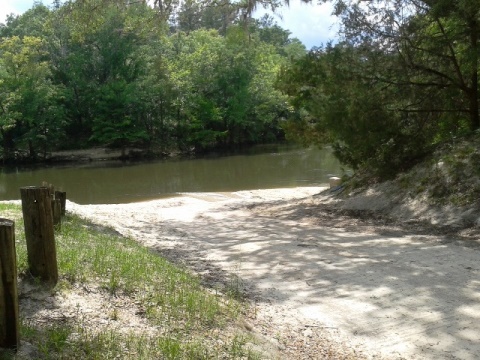
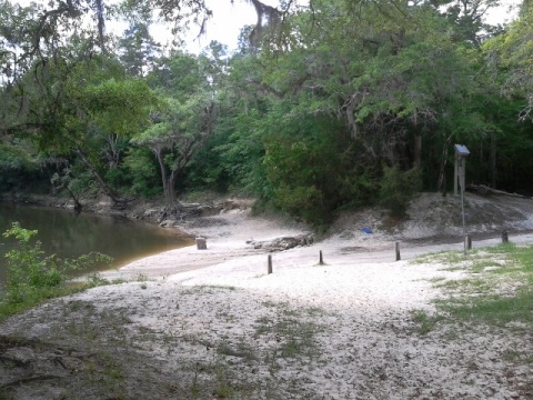
Other Launches (lower)
About the Chipola River
The river has many springs but can be a greenish brown because of the farmland along the upper river, and turns muddy after it rains. During low water, shoals are present. Below the SR 274 bridge are the “Look and Tremble” rapids which less experienced paddlers might want to portage around. The caves along the upper paddling trail are a unique sight, and diving, snorkeling, tubing are popular on the Chipola. The river is good for fishing, but the shallow water and limestone river bottom limit powerboats. The lower river widens but remains shallow. Wildlife includes alligators, turtles, deer and snakes, and birds including hawks, herons and egrets.
At Florida Caverns State Park, the Chipola goes underground and re-emerges downstream. The 51 mile paddling trail starts within Florida Caverns State Park, but the first mile is not navigable so launch at the SR166/Yancey Road Bridge. Along the paddling trail the limestone walls and caves are a unique sight. Explore on your own, or use the outfitters who can provide drop-off services (multi-day trips are also available). Some of the popular trips are:
- Yancey Bridge to Magnolia Road (10 miles) - visit a dry cave at "The Ovens"
- Hinson Conservation Area to Magnolia Road (4.5 miles)
- Spring Creek dam to Magnolia Road (3.7 miles)
- Peacock Bridge to Lamb Eddy Landing (11 miles) - "Look and Tremble" rapids are here
- Johnny Boy Landing to Lamb Eddy Landing (4.5 miles)
More Information and Resources
View great paddling by FL Region or Listed A - Z

PaddleFlorida.net... Find Florida's Best Recreational Paddling,
by Kayak, Canoe, and Paddleboard too.
Copyright © PaddleFlorida.net. All Rights Reserved. Paddle Florida®