Paddle Florida®
Over 100 Florida Paddling Destinations
E-Z Maps... Photos... Reports...
You are here > Home >
North Florida >
Big Bend Paddling Trail
Latest update: October 2020
Big Bend Paddling Trail...
105 Miles of Saltwater Paddling on Florida's Gulf Coast
Big Bend Saltwater Paddling Trail, a designated National Recreation Trail (and part of the 1,550 mile "Florida Circumnavigational Saltwater Trail"), runs 105 miles on the Gulf of Mexico between the Aucilla and Suwannee Rivers along one of the longest and wildest publicly-owned coastal wetlands in the United States. Kayakers will pass wildlife and aquatic preserves, with many small tidal creeks and seven rivers to explore. Watch wind and tides. Overnight trips are for experienced and properly equipped paddlers only. (Detailed map and photos below.)
Distance: 105 miles
Location: Wakulla, Taylor, Dixie Counties
Difficulty: Moderate to difficult
Tidal: Yes
Launch points: Econfina River State Park, Hagens Cove, Dallus Creek,
Steinhatchee, Horseshoe Beach, Suwannee (See map)
Nearby points of interest: St. Mark's Lighthouse, Suwannee River
Rentals/Outfitters/Tours:
River Haven Marina
(Steinhatchee, FL - rentals, shuttle)
Page Summary:
- Paddling along the Big Bend Paddling Trail
- Kayaking at Hagens Cove
- Hagen's Cove Park - Other Launches
- Keaton Beach, Dark Island, Dallus Creek, Steinhatchee, Rocky Creek, Horseshoe Beach, Shired Island, Suwannee - More About the Big Bend Saltwater Paddling Trail
- More Information and Resources
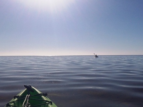
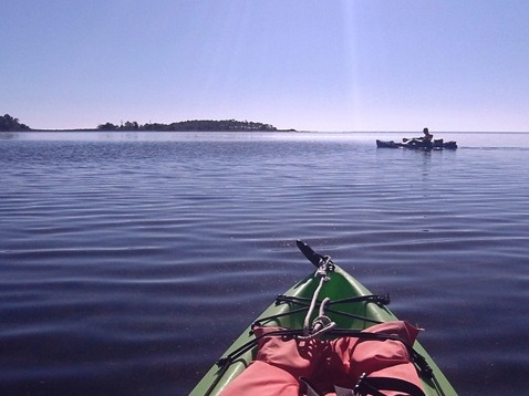
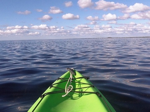
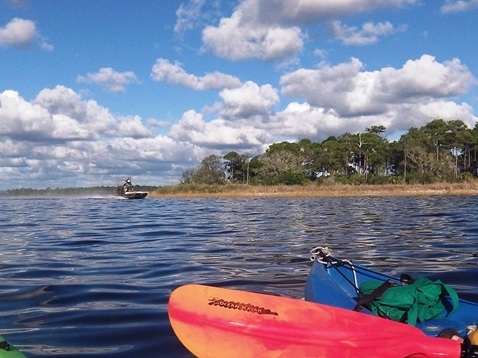
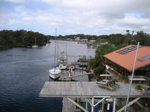
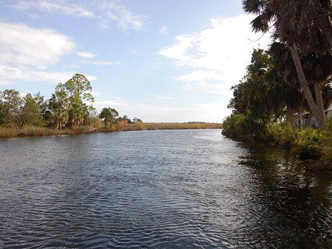
Paddling along the Big Bend Paddling Trail... Comments and Photos
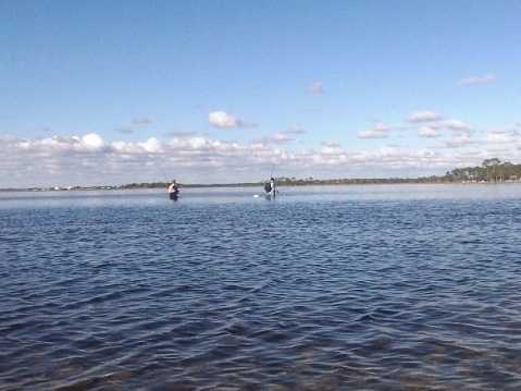
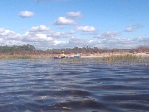
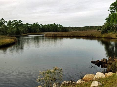
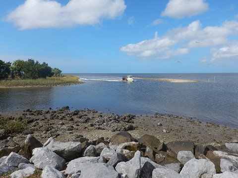
We kayaked the area off Hagen's Cove, and visited other tiny beach towns along the Paddling Trail to scope out launches. This is a particularly shallow section of the Gulf - tides, wind and weather can be treacherous, so watch for advisories. In warmer weather especially, the insects (yellow flies, black flies, and "no-see-ums") can be brutal. Sunshine is your friend. When you see local fishermen getting off the water as sunset approaches, you should do the same. On the other hand, this area of Florida is sparely populated, retaining its natural beauty and remote feel. Wildlife include a wide array of bird and marine life.
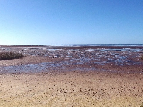
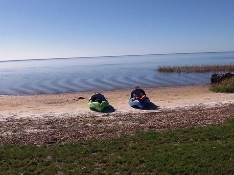
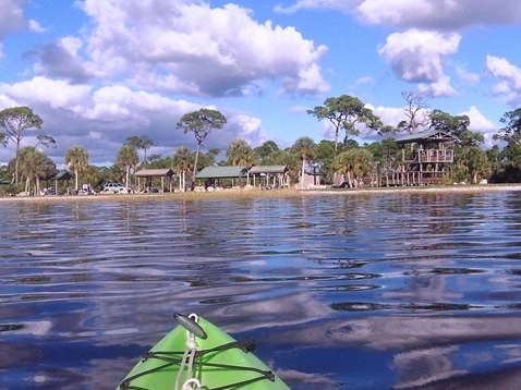
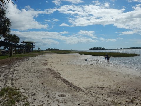
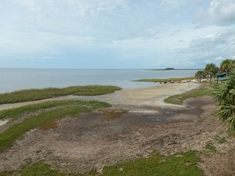
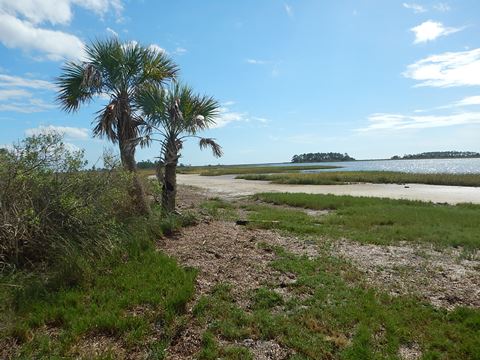
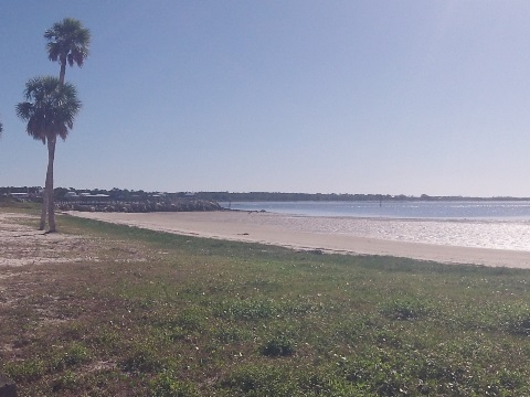
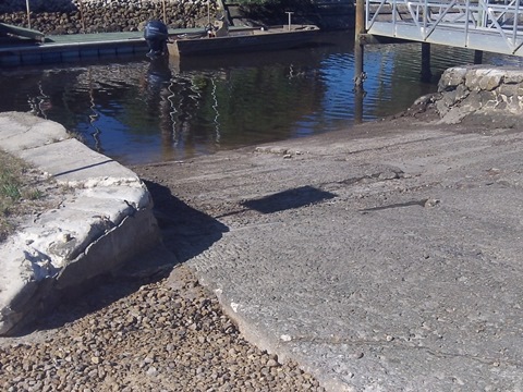
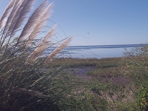
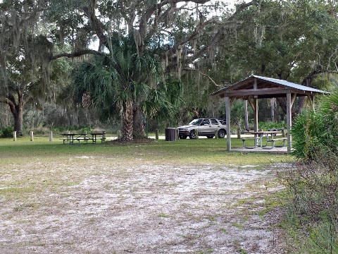
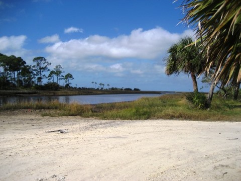
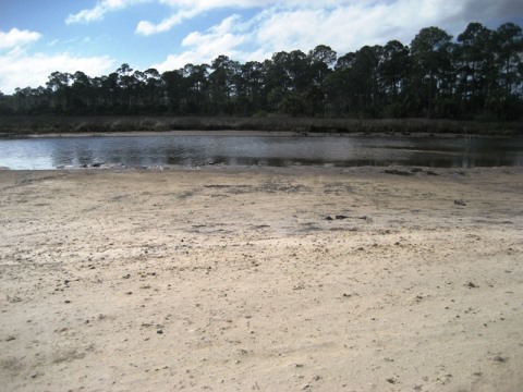
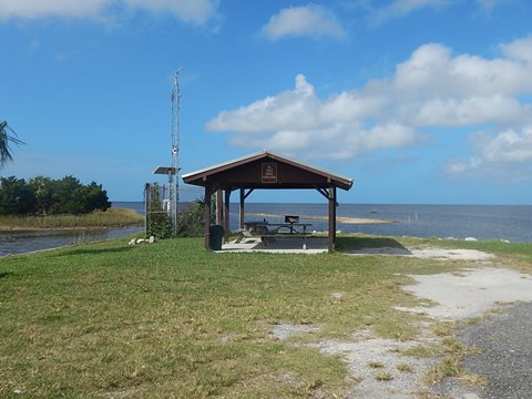
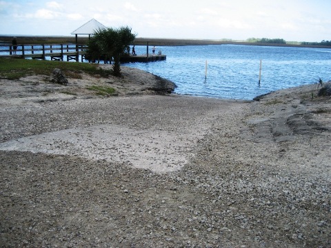
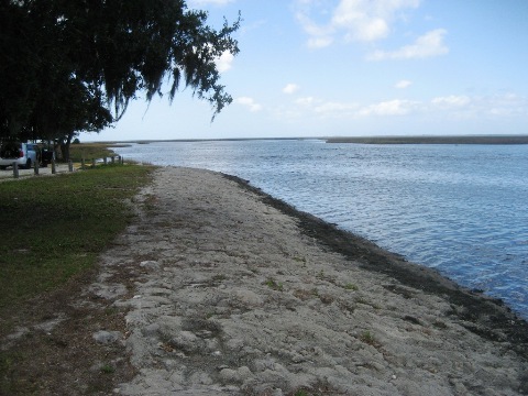
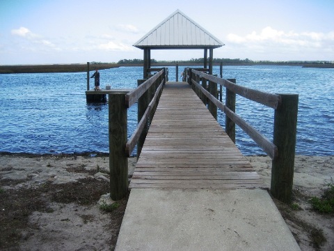
Kayaking at Hagens Cove
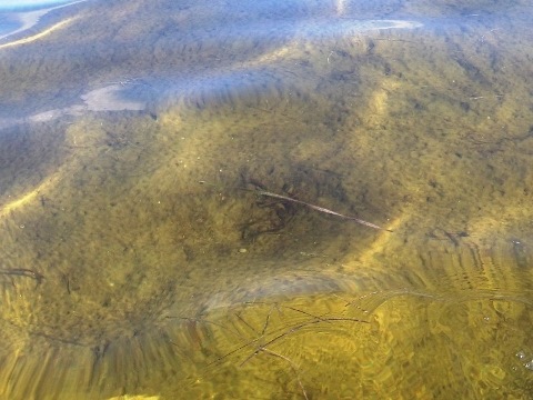
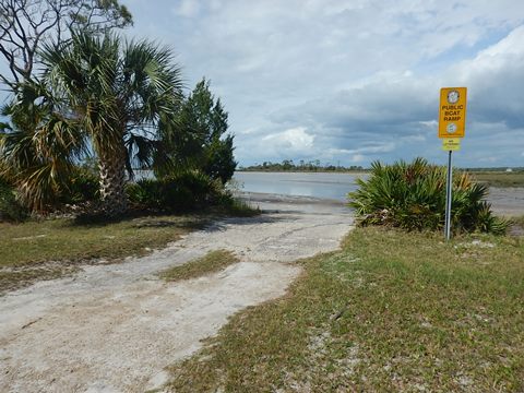
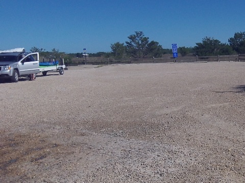
Hagen's Cove is located between Keaton Beach and Steinhatchee, along the Big Bend Wildlife Management Area (Tide Swamp Unit). The beach near the picnic pavilions is a good launch spot. There's also a boat ramp in an adjoining area with trailer parking. This is shallow and tidal, we waited for the tide to come in to avoid a very long pull through mud flats to deeper water.
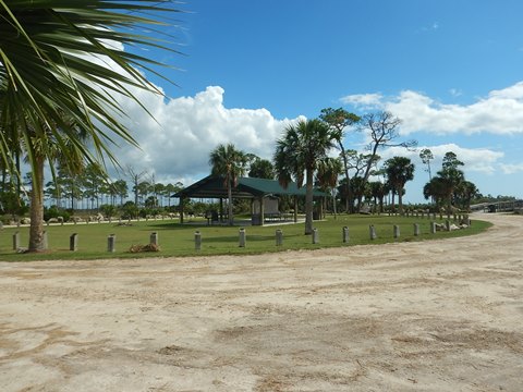
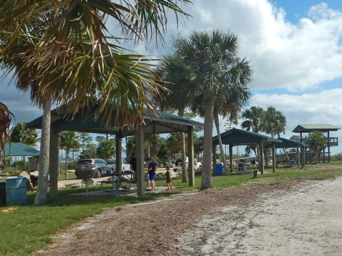
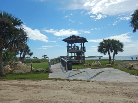
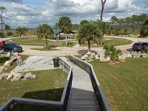
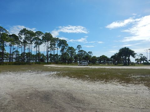
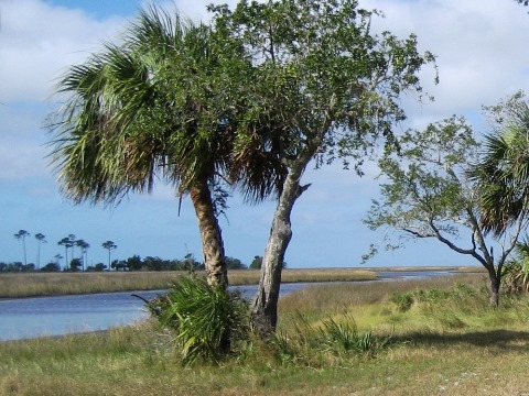
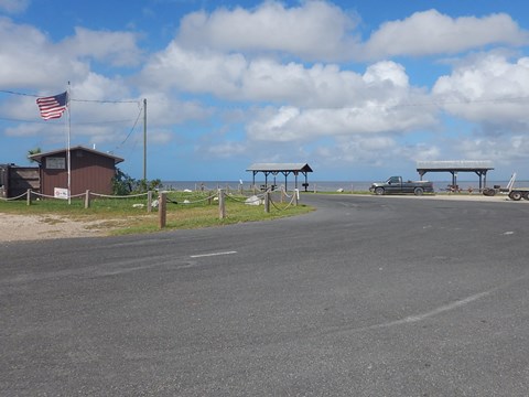
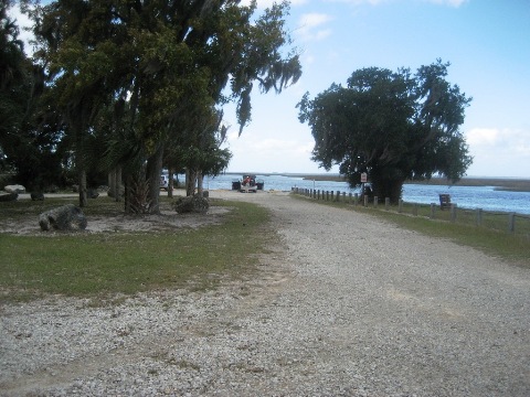
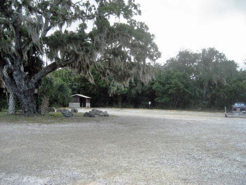
Hagen's Cove Park
Hagens Cove Park is located about 1.5 miles off CR361 (5 miles south of Keaton Beach). The park has restrooms, boat ramp, beach and picnic facilities plus an observation tower.
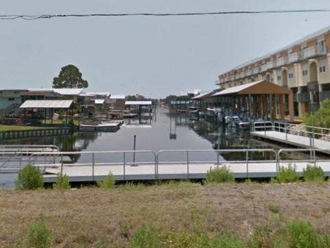
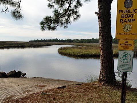
Other Launches along the Big Bend Saltwater Paddling Trail
Listed from north to south (see Map )
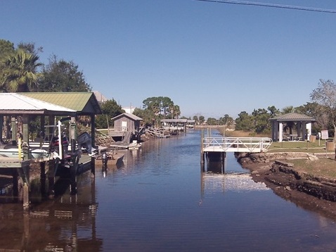
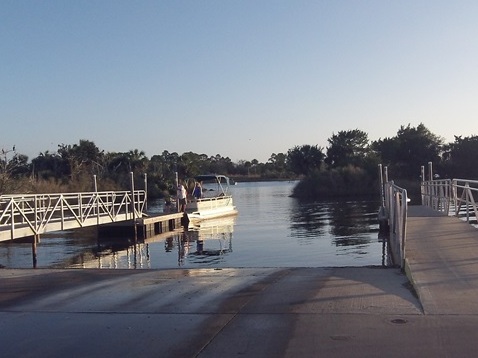
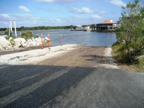
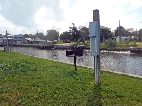
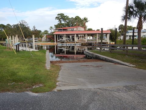
Keaton Beach
Boat ramp, parking. Canal leads to Gulf. Convenience store, food, RV campground.
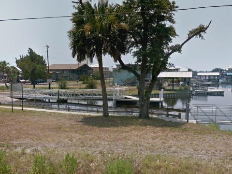
Restrooms, picnic tables and additional parking at Keaton Beach Coastal Park across the road.
Dark Island
Boat ramp, parking. Canal leads to the Gulf. No amenities, the nearest town is Keaton Beach.
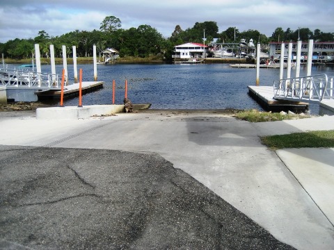
Steinhatchee
2 boat ramps (Steinhatchee and Jena), other landings north along the river. Restaurants, accommodations, re-stock supplies at shops.
Rocky Creek
Remote, unimproved boat ramp. Short paddle to the Gulf, then about a mile to Sink Creek Campsite.
Shired Island
Boat ramp, campground, restroom, fishing pier. Part of the Lower Suwannee National Wildlife Refuge.
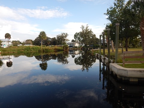
Suwannee
Paddle up canals from the river to boat ramps in town. Restaurant, camping/motel, convenience store.
More About the Big Bend Saltwater Paddling Trail
The paddling trail includes six primitive campsites at Rock Island, Spring Warrior Creek, Sponge Point, Dallus Creek, Sink Creek, and Butler Island; free permits must be obtained in advance (an online calendar is available to check availability and make reservations, see link below). Camping is also available at Econfina State Park and other accommodations in Steinhatchee.
More Information and Resources
Nearby Paddling:
Lower Suwannee River
Steinhatchee River
See FL North Region for more paddling
Nearby Biking:
Keaton Beach
Path
Lower Suwannee National Wildlife Refuge (eco-biking)
Nature Coast State Trail
Related Resources:
Florida Fish and Wildlife Commission - Big Bend Saltwater Paddling Trail
View great paddling by FL Region or Listed A - Z

PaddleFlorida.net... Find Florida's Best Recreational Paddling,
by Kayak, Canoe, and Paddleboard too.
Copyright © PaddleFlorida.net. All Rights Reserved. Paddle Florida®