Paddle Florida®
Over 100 Florida Paddling Destinations
E-Z Maps... Photos... Reports...
You are here > Home >
East-Central Florida >
Spruce Creek
Latest update: November 2016
Spruce Creek... Florida
Paddling near Daytona and New Smyrna Beach
Spruce Creek, an Outstanding Florida Waterway, is a natural blackwater creek - tannic acid from swampy vegetation stains the water black at its inception in the upper creek. The upper creek is scenic and tree lined with freshwater vegetation. As it approaches I-95, the creek widens, becomes brackish saltwater, and lined by marsh and mudflats. The Creek gradually merges into Strickland Bay. (Detailed map and photos below.)
Distance: Varies. Official trail is 8 miles, but
most paddling is out and back from launch
Location: Volusia County (Port Orange)
Difficulty: Easy to moderate
Tidal: Yes, especially closer to the coast
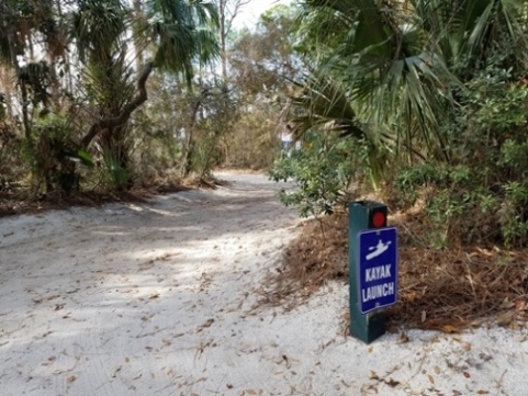
Launch points: Spruce Creek Park (I-95 Exit 256, east one
mile); Strickland Bay bridge (US 1, 5 miles north of New Smyrna Beach);
Cracker Creek (Taylor Road, Port Orange) (See map)
Nearby points of interest: Gamble Place, Spruce Creek Mound,
New Smyrna Beach, Daytona Beach
Rentals/Outfitters/Tours:
Cracker Creek (rentals, tours)
Kayak Atlantic Waters (rentals, tours)
Page Summary:
- Paddling on Spruce Creek
- Cracker Creek upstream
- Cracker Creek to I-95 bridge
- Strickland Bay
- Spruce Creek Park - More Information and Resources
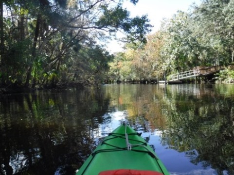
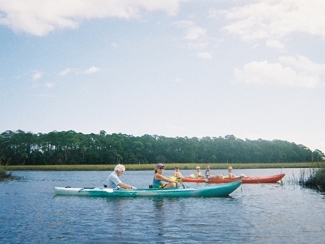
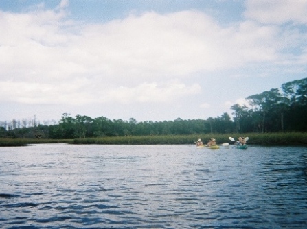
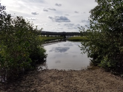
Paddling on Spruce Creek... Comments and Photos
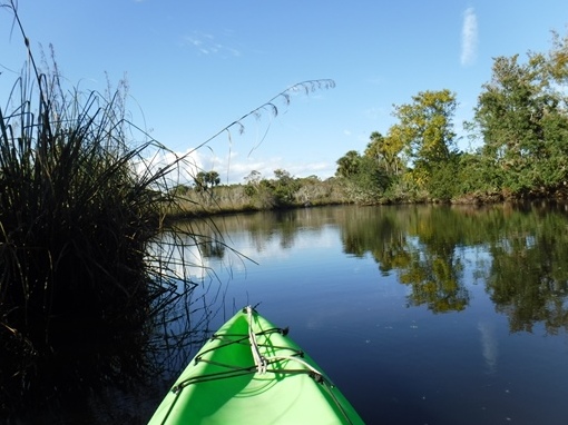
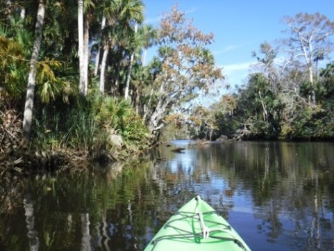
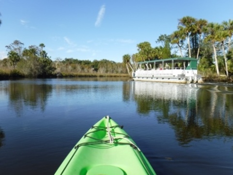
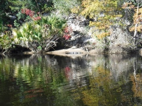
Mostly an easy paddle, with a couple more technical areas upstream where it narrows and subject to obstacles in the water. The creek has a remote feel, especially upstream and as it passes through Spruce Creek Preserve, but development is not far away - homes and docks are seen along much of the creek. Lots of wildlife including waterbirds, alligators.
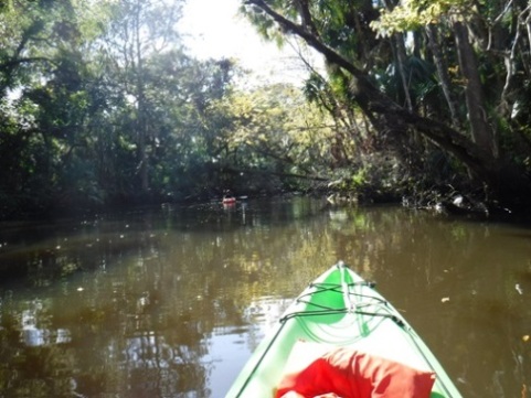
Cracker Creek upstream
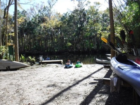
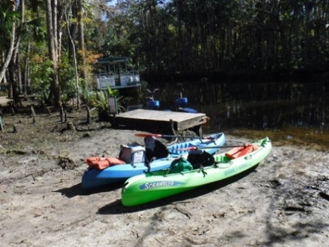
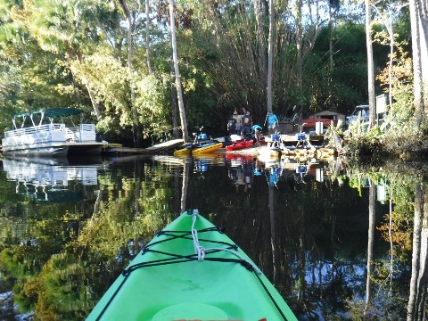
We launched for a modest fee at Cracker Creek and paddled a short distance upstream until stopped by logs. Paddling here is subject to water levels and weather can play a role - on this trip, a recent hurricane had deposited a lot of debris yet to be cleared.
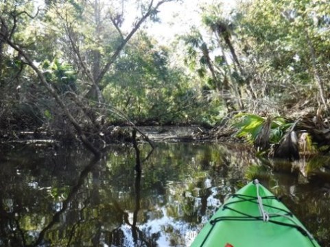
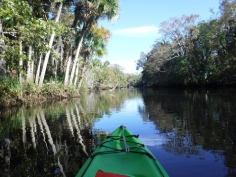
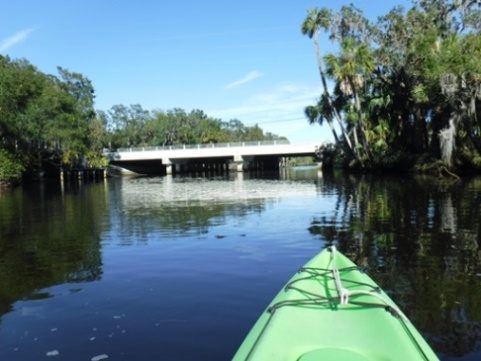
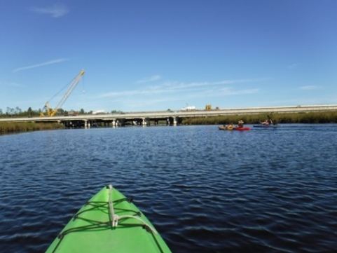
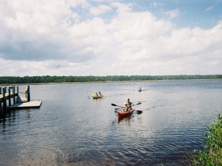
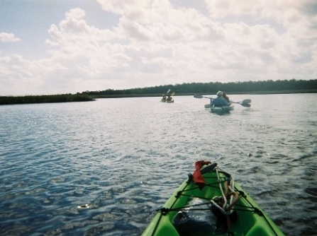
Cracker Creek to I-95 bridge
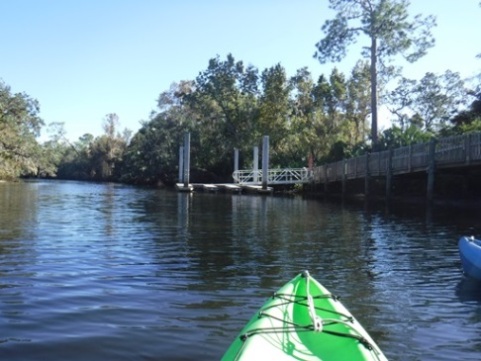
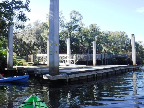
From Cracker Creek, we then paddled downstream to the I-95 bridge. Upriver the creek is narrow and shady with some canopy. As we approached I-95, it widened, the water became brackish, and the shoreline marshy. We paddled past the Russell Property, a public park that can be accessed only from the creek (at this writing) - kayak dock makes this a convenient stop to stretch and picnic.
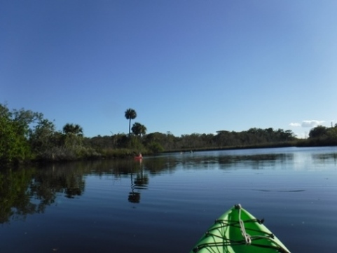
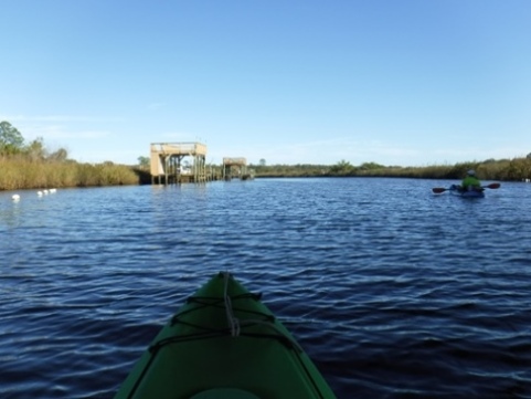
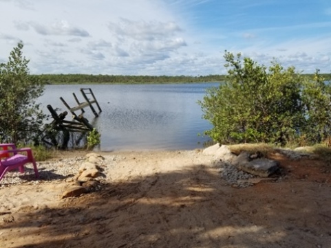
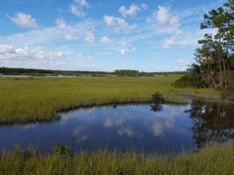
Strickland Bay
At Strickland Bay, the creek is wide and open. Strickland Bay converges with Turnbull Bay and accesses the Indian River/Intracoastal Waterway. Members of our group rented from the outfitter, while we launched our own kayaks for a fee. We paddled around Strickland Bay, open water with some cuts along the shoreline. At low tide, watch out for the oyster bars.
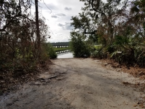
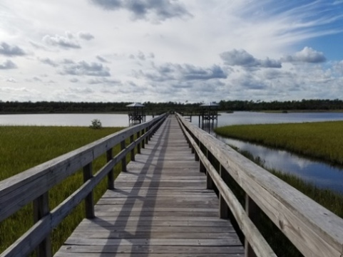
Spruce Creek Park
Spruce Creek Park has a boardwalk, nature trails, observation tower, fishing pier, playground, and picnicking. We visited the launch to plan for a future trip. Muddy and unusable at low tide.
More Information and Resources
Nearby Paddling:
Callalisa Creek
See FL East-Central Region for more paddling
Nearby Biking:
Related Resources:
Florida Office of Greenways and Trails - Spruce Creek Paddling Trail (.pdf)
Volusia County - Spruce Creek Park
View great paddling by FL Region or Listed A - Z

PaddleFlorida.net... Find Florida's Best Recreational Paddling,
by Kayak, Canoe, and Paddleboard too.
Copyright © PaddleFlorida.net. All Rights Reserved. Paddle Florida®