Paddle Florida®
Over 100 Florida Paddling Destinations
E-Z Maps... Photos... Reports...
You are here > Home >
North Florida >
Steinhatchee River
Trip report: November 2015
Steinhatchee River...
Diverse Kayaking in Florida's Big Bend Region
The Steinhatchee River flows 34 miles in Florida's Big Bend from Mallory Swamp south of Mayo to the Gulf of Mexico at Steinhatchee, with a Designated Paddling Trail running from Steinhatchee Falls to Steinhatchee. Notable features are Steinhatchee Falls, and the fact that the river runs underground for about a mile (the River Rise is located near the US19 bridge). Our expectations for this expedition were not only met but exceeded - we were pleasantly surprised at the amount and variety of paddling and are planning another visit! (Detailed map and photos below)
Distance: 8.5 miles from Steinhatchee Falls to Steinhatchee
boat ramps; 34 miles total
Location: Taylor, Dixie and Lafayette Counties (Steinhatchee)
Difficulty: Easy to moderate downstream from River Rise;
moderate to difficult upstream from river rise
Tidal: Yes, as it nears the Gulf
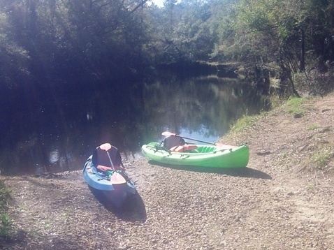
Launch points: Steinhatchee Falls, Steinhatchee Boat Ramp
and Jena Boat Ramp are noted on the paddling trail, we list other launch points
below (See map)
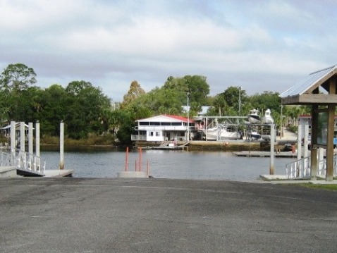
Rentals/Outfitters/Tours:
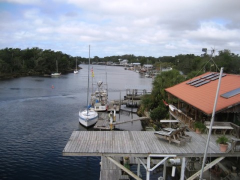
River Haven Marina (rentals)
Page Summary:
- Paddling on Steinhatchee River
- Paddling Trail - Steinhatchee Falls to Steinhatchee
- Steinhatchee Falls Landing
- Steinhatchee Falls Landing to Steinhatchee
- Ladd's Landing
- Steinhatchee and Jena Boat Ramps - River Rise to Steinhatchee Falls
- Upstream from Shaw's Landing to River Rise
- River Rise
- Downstream from Shaw's Landing to Steinhatchee Falls - Upstream from US 19
- Access Points - More Information and Resources
Paddling on Steinhatchee River... Comments and Photos
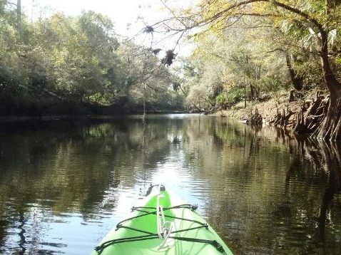
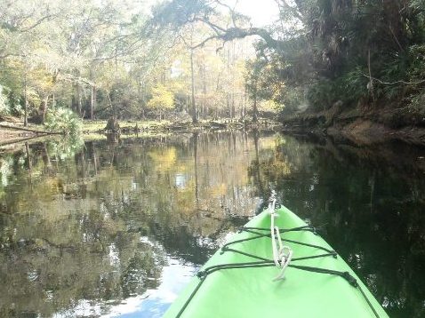
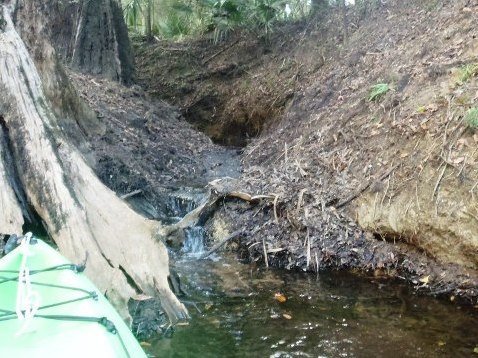
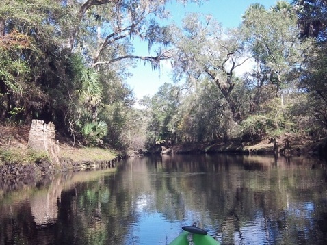
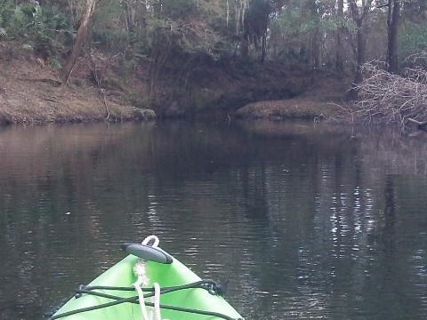
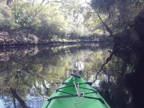
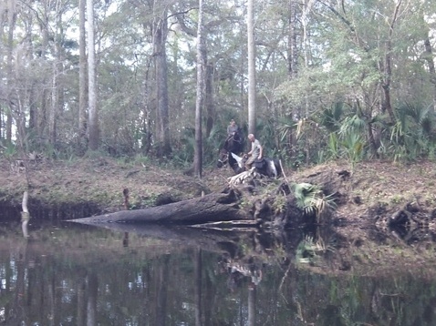
This is a remote area with small towns, mostly popular for fishing (and scalloping during the July-September season). There is no commercial development along the Steinhatchee and it's one of the healthiest rivers in Florida. The river is deep and although spring-fed (we saw several), is tannic due to the dense vegetation along the shore. The springs keep water levels fairly constant, but in extreme conditions we were told of Steinhatchee Falls being too dry to launch, or so high the water approached the picnic benches! Wildlife may include manatees, alligators, river otter, beaver, deer, and wading birds - not to mention great fishing.
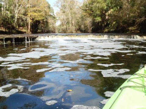
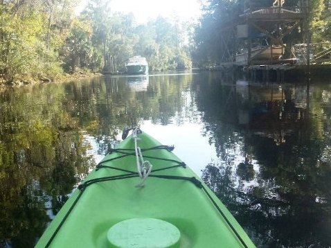
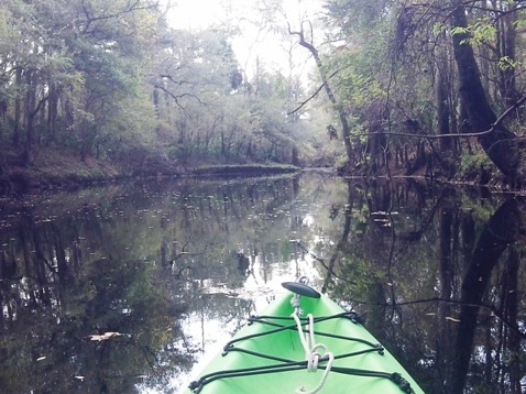
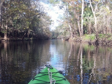
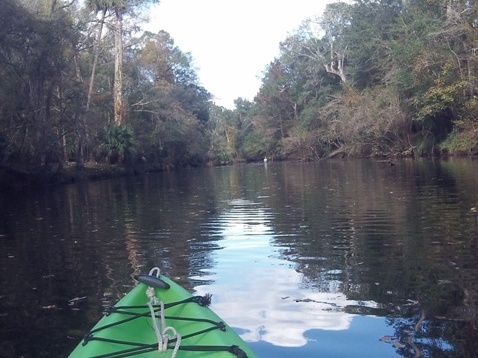
Paddling Trail - Steinhatchee Falls to Steinhatchee
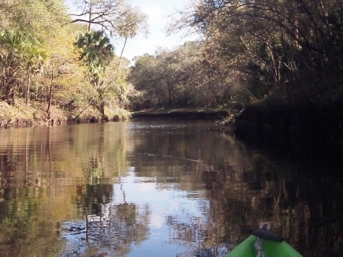
On the paddling trail the prettiest section is downstream from Steinhatchee Falls for about 1.5 miles, including a shoals. Further downstream, it gets wider and deeper with motorboats and homes lining the shoreline. After leaving the park at the Falls, there are no facilities or stopping points.
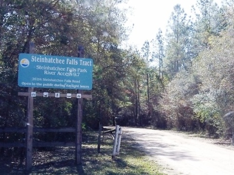
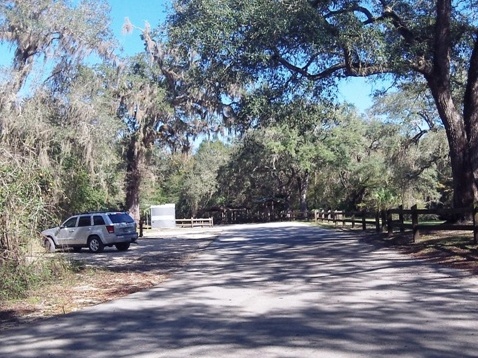
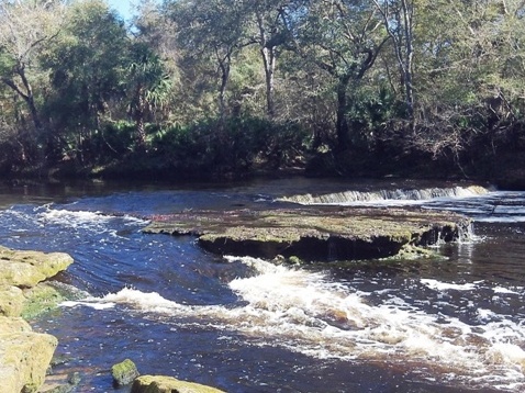
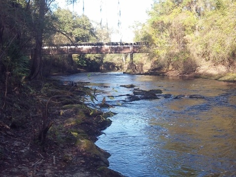
Steinhatchee Falls Landing
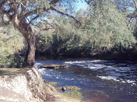
The park at Steinhatchee Falls (look for the sign off SR51) has parking, picnicking, restrooms, hiking trails plus a boat ramp/launch and of course great views of the Falls.
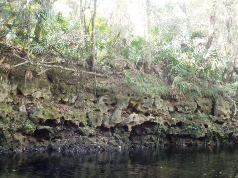
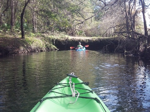
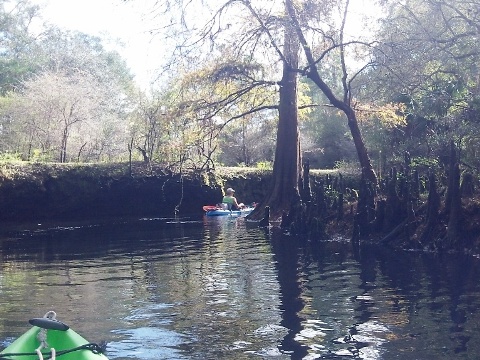
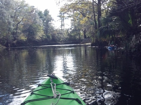
Steinhatchee Falls Landing to Steinhatchee
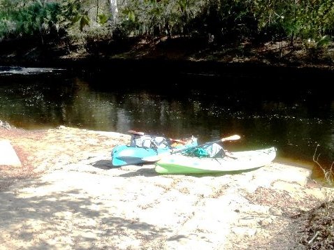
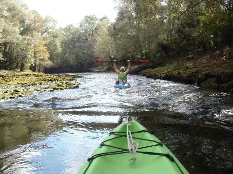
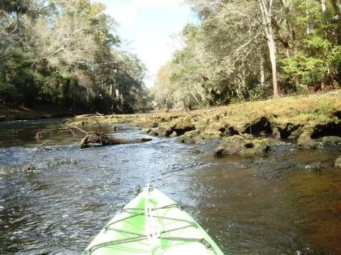
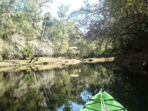
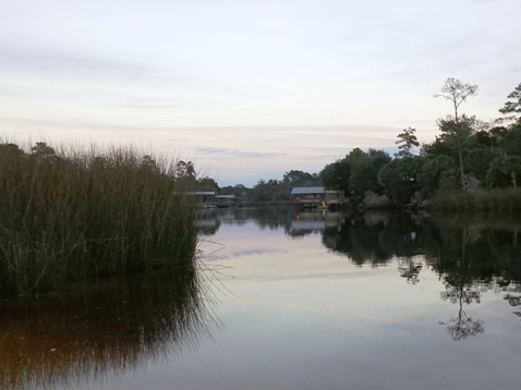
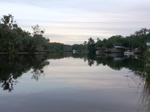
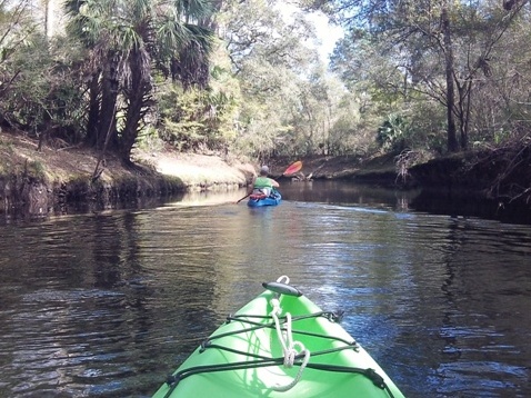
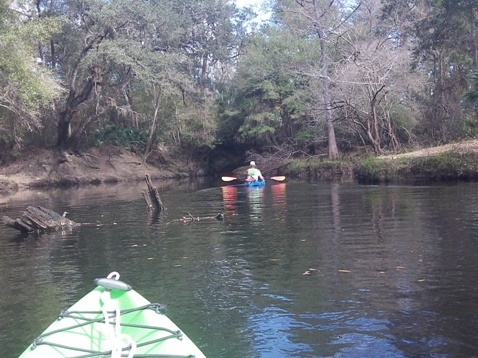
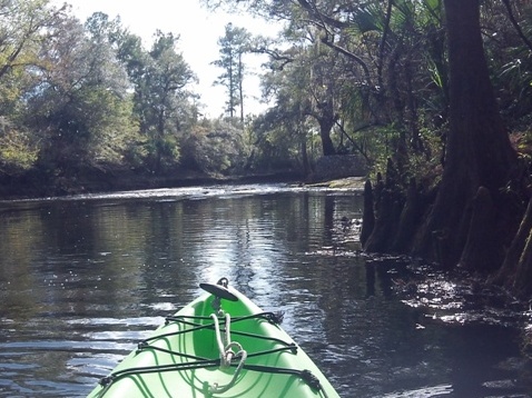
We used the River Haven Marina outfitter to shuttle us to Steinhatchee Falls and then paddled back to Steinhatchee. The prettiest section was the first 1.5 miles and we enjoyed riding over the shoals. The rock formations and limestone ledges were eye-catching - and very unlike most other areas of Florida. Downstream, got wider and deeper with homes and motorboats - homes start appearing at about 1.5 miles. At about 4 miles, the tidal influence kicks in - deeper, and larger motorboats.

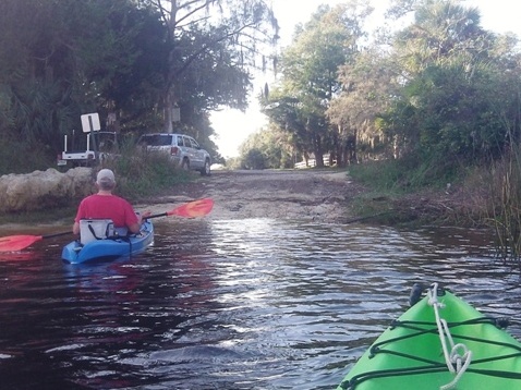
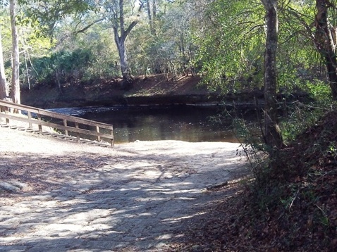
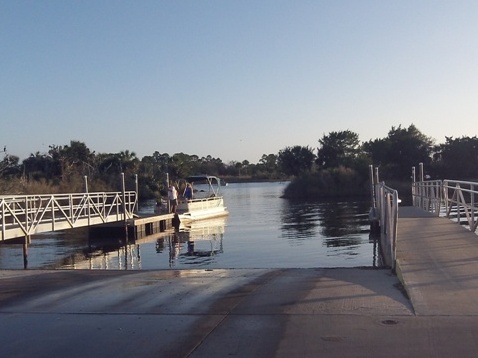
Ladd's Landing
An unmarked landing popular with locals, and a good place to self-launch in town (located next to Steinhatchee Landing Resort on First Avenue NE). The River Haven outfitter was able to accommodate us by leaving our car and trailer here rather than at the marina.
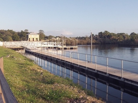
Steinhatchee and Jena Boat Ramps
We ended our paddle at Ladd's Landing as we didn't want to deal with the busier river traffic in town but here are the main boat ramps which mark the end of the designated paddling trail.
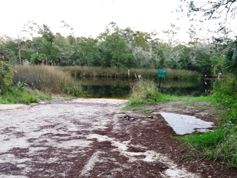
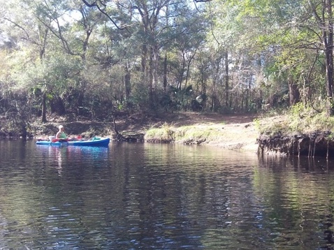
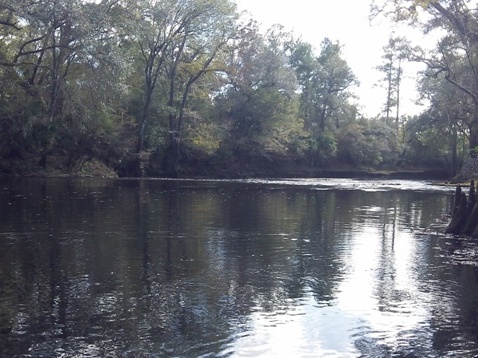
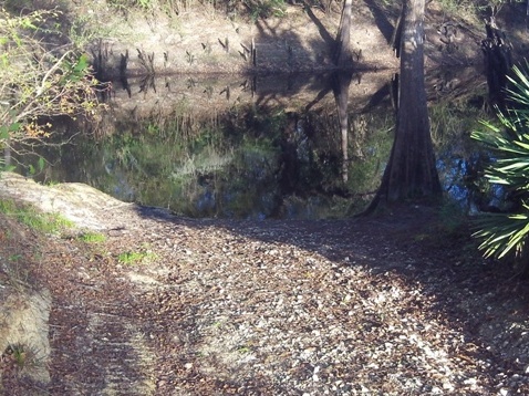
River Rise to Steinhatchee Falls
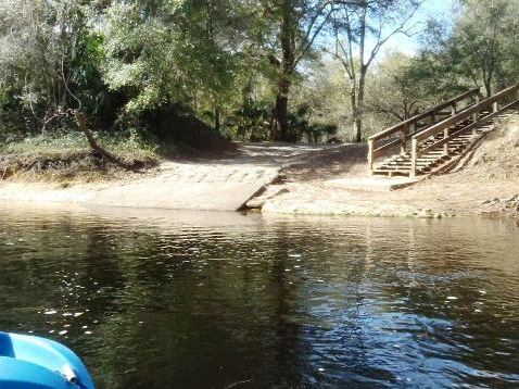
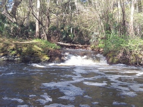
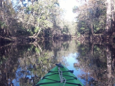
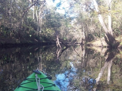
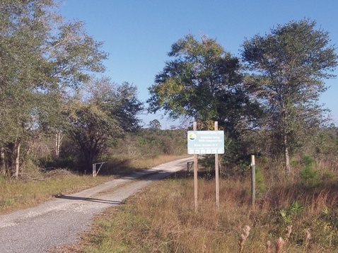
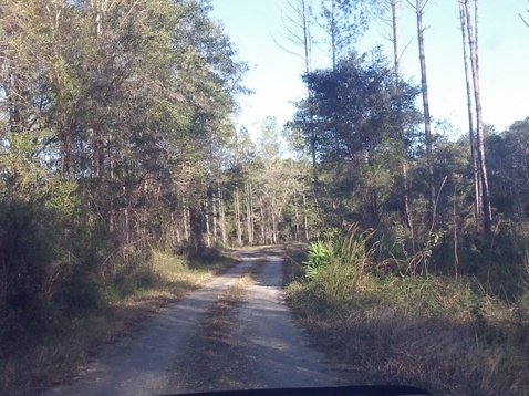
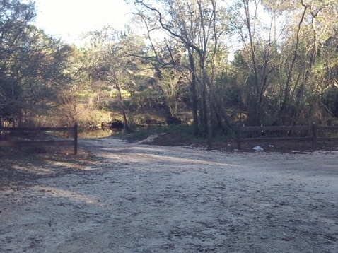
Upstream from Steinhatchee Falls and off the designated trail is Shaw's Landing - there is no shuttle here, so bring your own vessel and transportation. We paddled upstream about 1.5 miles to River Rise (where the river re-emerges from underground), and downstream about 1.1 miles to Steinhatchee Falls. The river was mostly wide with few obstacles, an easy paddle. Depending on water levels, the drop at the falls can be 1-3 feet and can be paddled (though we did not).
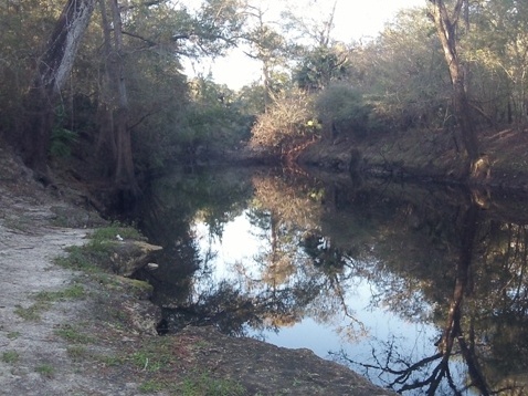
Upstream from Shaw's Landing to River Rise
We paddled upstream about 1.5 miles to River Rise (where the river re-emerges from underground). The river was mostly wide with few obstacles, an easy paddle.
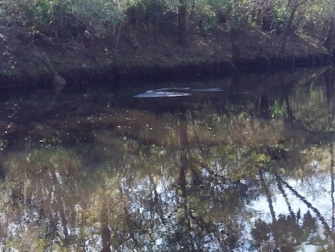
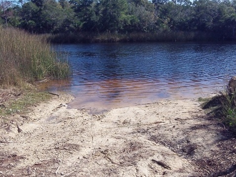
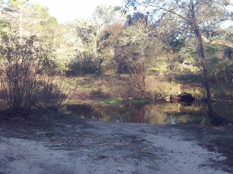
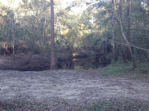
River Rise
We didn't see any bubbling so couldn't identify exactly where the river comes from underground.
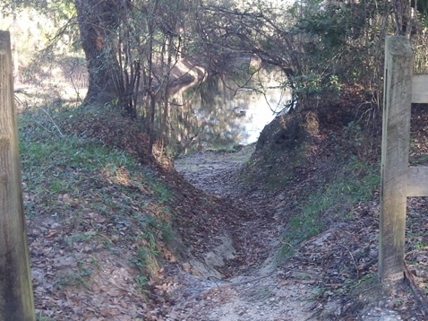
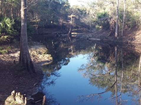
Downstream from
Shaw's Landing to Steinhatchee Falls
We paddled downstream about 1.1 miles to Steinhatchee Falls. Depending on water levels, the drop at the falls can be 1-3 feet . We stayed back as we didn't want to accidentally get swept over - it's kayakable, but not sure we could paddle back and didn't feel like hauling the kayaks on land. (See our report on the Designated Paddling Trail for paddling downstream of the Falls.)
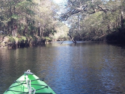
Upstream from US 19
Upstream from US 19
Above US19 and River Rise, the river is more difficult with shoals and other obstacles. It parallels SR51 toward Mayo and a number of River Access Points are located along the road, watch for the signs (the last sign we saw was for access point 18).
Access Points
We visited the access points off SR51. The river in this section has more obstacles plus shoals and could be a challenge. Access point 15.9 appeared to be the best option and we'll plan to try it some time in the future if we're in the area.
More Information and Resources
Nearby paddling:
Big Bend Saltwater Paddling Trail
Lower Suwannee River
See FL North Region for more paddling
Nearby Biking:
Keaton Beach
Path
Lower Suwannee National Wildlife Refuge (eco-biking)
Nature Coast State Trail
Related Resources:
Florida Office of Greenways and Trails - Steinhatchee River Paddling Trail
View great paddling by FL Region or Listed A - Z

PaddleFlorida.net... Find Florida's Best Recreational Paddling,
by Kayak, Canoe, and Paddleboard too.
Copyright © PaddleFlorida.net. All Rights Reserved. Paddle Florida®