Paddle Florida®
Over 100 Florida Paddling Destinations
E-Z Maps... Photos... Reports...
You are here > Home >
West-Central FL >
Homosassa River
Trip report: October 2012
Homosassa River...
Paddling with Manatees
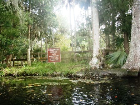
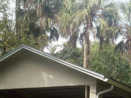
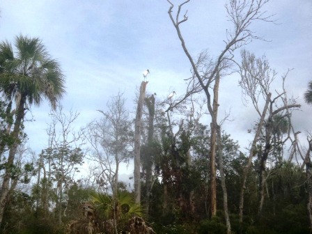
The Homosassa River is fed by Homosassa Springs, and flows 8 miles to the Gulf of Mexico. This is a prime manatee viewing area, the water around the spring maintains 72 degrees and manatee inhabit the area year-round. Because the mineral content of the water resembles salt water, both freshwater and saltwater fish can be found here. The spring is within Homosassa Springs Wildlife State Park, but access from the river is restricted as the park is a wildlife refuge. (Detailed map and photos below.)
Distance: 8 miles
Location: Citrus County (Homosassa, 6 miles south of
Crystal River)
Difficulty: Easy to moderate
Tidal: Yes
Launch points: Kayak launch at Riversport Kayaks; boat ramp
at MacRae's. (See map)
Nearby points of interest:
Homosassa Springs Wildlife State Park, Yulee Sugar Mill Ruins
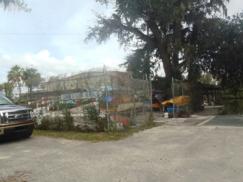
Rentals/Outfitters/Tours:
Riversport Kayaks
(sales, rentals, tours)
Florida
Cracker Riverside Resort
(rentals)
River Safaris
(tours)
Support and Advocacy:
Page Summary:
- Paddling on the Homosassa River
- Kayak Launch to River
- Town of Homosassa to State Park and Return
- Launch areas
- Wildlife - More Information and Resources
Paddling on the Homosassa River... Comments and Photos
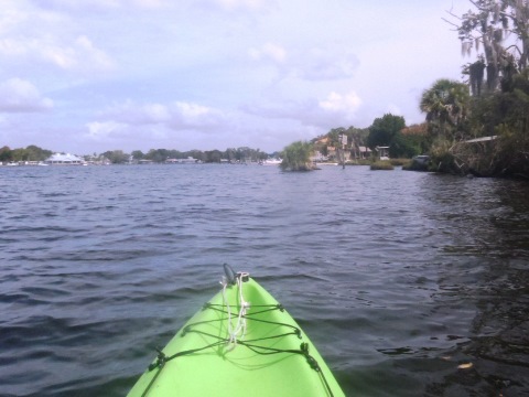
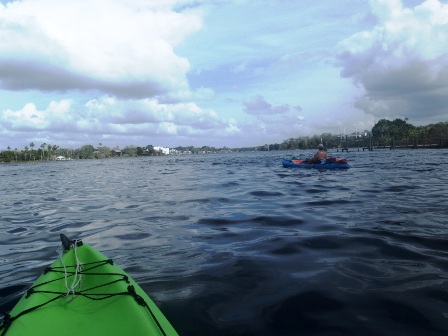
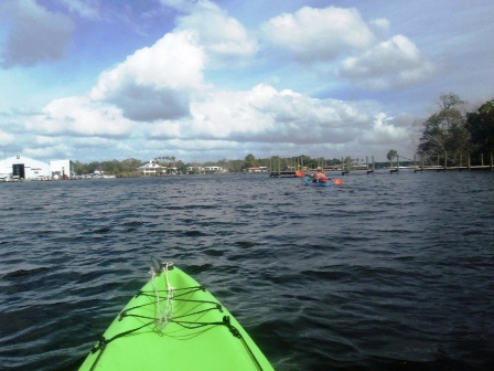
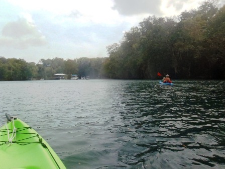
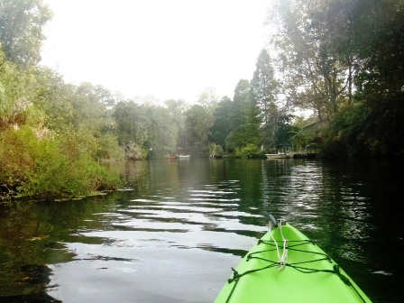
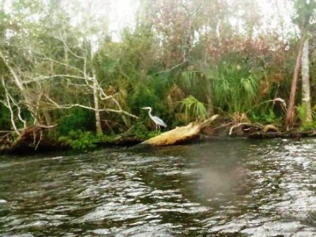
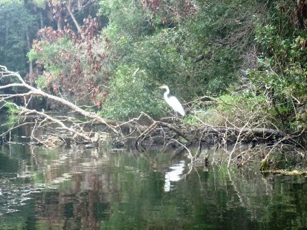
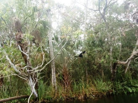
We focused upstream from the town of Homosassa to the State Park, the round trip is about 5 miles. We explored a few side canals as well. Downstream, the clear water from the spring becomes tannic and then brackish as it approaches the Gulf. The river flows through an undeveloped area, with mangrove islands and saltwater grass flats - popular for fishing and full of motorboats.
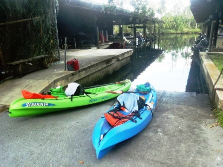
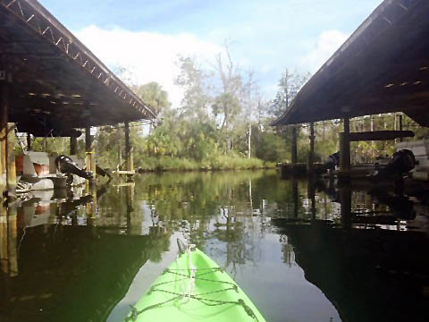
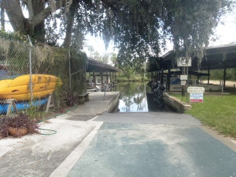
Kayak Launch to River
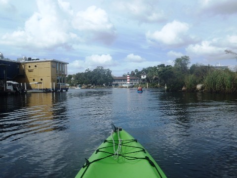
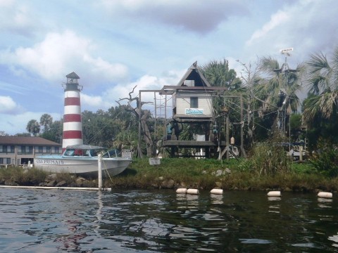
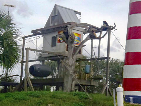
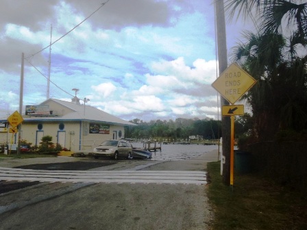
Free launches are available in Homosassa from the public boat ramp at Cherokee Way (near MacRae's Motel and Bait Shop), or from the kayak launch off Loblolly Way (behind Florida Cracker Riverside Resort.) We used the kayak launch with its easy trailer parking area. The launch exits into a canal that links to the river - less than 1/10 mile. At the river juncture is Historic Monkey Island with its mock lighthouse and home to a family of resident spider monkeys.
Town of Homosassa to State Park and Return
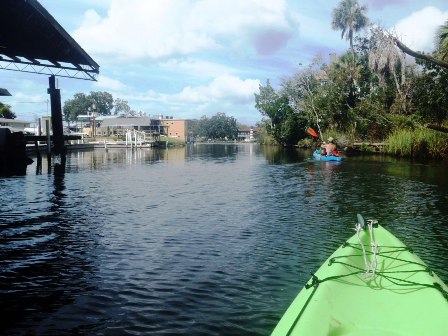
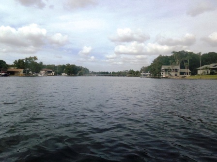
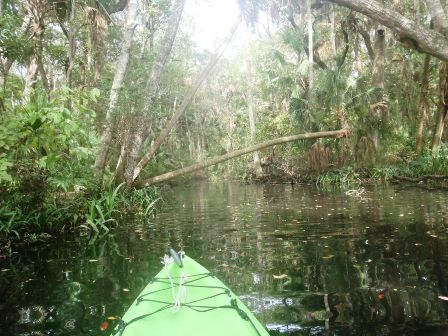
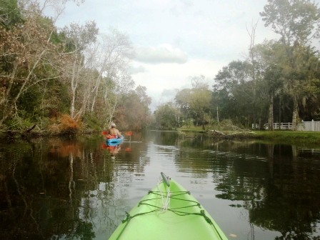
Proceeding upstream from the canal/Monkey Island, the rier is wide and can be rough when windy, watch for the many motorboats (No Wake Zones are helpful). In this section, houses line much of the river, and some canals off the river wind through housing developments. After 1.5 miles, the Halls River feeds into the Homosassa, another paddle-friendly river we'd like to explore on another trip. The Homosassa narrows past this point and the spring is another 3/4 mile (access restricted). Note: while choppy water made it difficult to actually see manatees on this day, they made their presence known as we drifted and startled several. The resulting boils soaked our sit-on-top kayaks a few times.
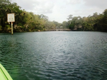
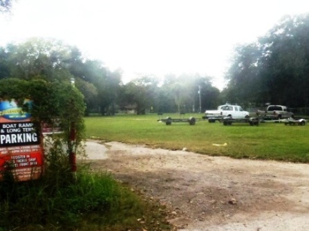
Launch areas at Homosassa
Public Boat Ramp, Kayak Launch and parking
More Information and Resources
Nearby Paddling:
Crystal River
Chassahowitzka River
Weeki Wachee River
See FL West-Central Region
for more paddling
Nearby Biking:
Related Resources:
SW Florida
Water Management District - Homosassa River
Florida State Parks -
Homosassa Springs Wildlife State Park
View great paddling by FL Region or Listed A - Z

PaddleFlorida.net... Find Florida's Best Recreational Paddling,
by Kayak, Canoe, and Paddleboard too.
Copyright © PaddleFlorida.net. All Rights Reserved. Paddle Florida®